Passo dell'Abetone
Tuscany, Italy
APPROACH ROUTES
Passo dell'Abetone
from San Cassiano
Distance
31.4km
Elevation
1148m
Avg %
3.7%
Max %
13.8%
Passo dell'Abetone
from Sant'Andreapelago
Distance
11.2km
Elevation
605m
Avg %
5.4%
Max %
11.9%
Passo dell'Abetone
from Montalecchio
Distance
6.2km
Elevation
387m
Avg %
6.2%
Max %
13.5%
Passo dell'Abetone is a Category 1 cycling climb in Tuscany, Italy, cresting at 1 388 m. Its hardest ascent, from San Cassiano, covers 31.4 km at 3.7% average, gaining 1 148 m, with ramps up to 13.8%. The steepest kilometre averages 10.5%, around km 25.7. It can also be climbed from Montalecchio and Sant'Andreapelago — the gentlest from Sant'Andreapelago at 5.4%: 3 measured approaches in all, each profiled kilometre-by-kilometre against Copernicus GLO-30 elevation data. On the Fiets scale it rates 4.6. Late spring through autumn offers the most reliable conditions on the pass.
RIDE THE CLIMB — FROM SAN CASSIANO
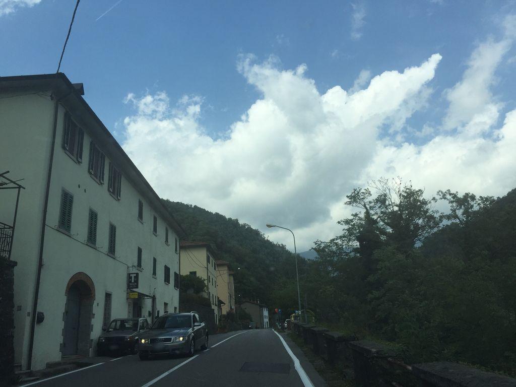 KM 14.5
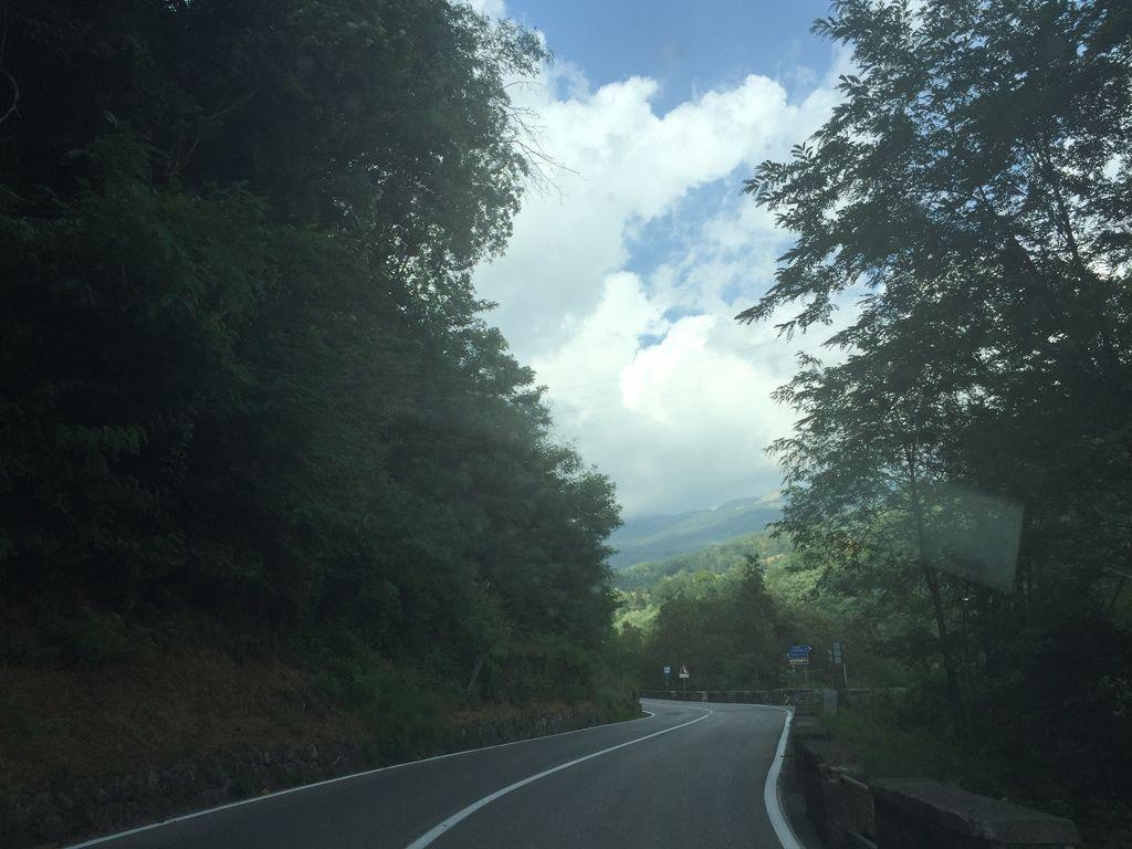 KM 15.6
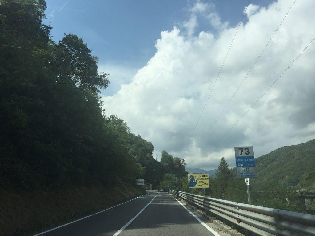 KM 16.1
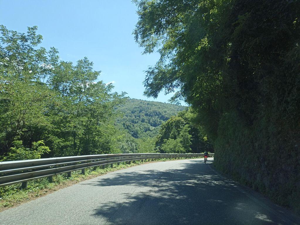 KM 16.6
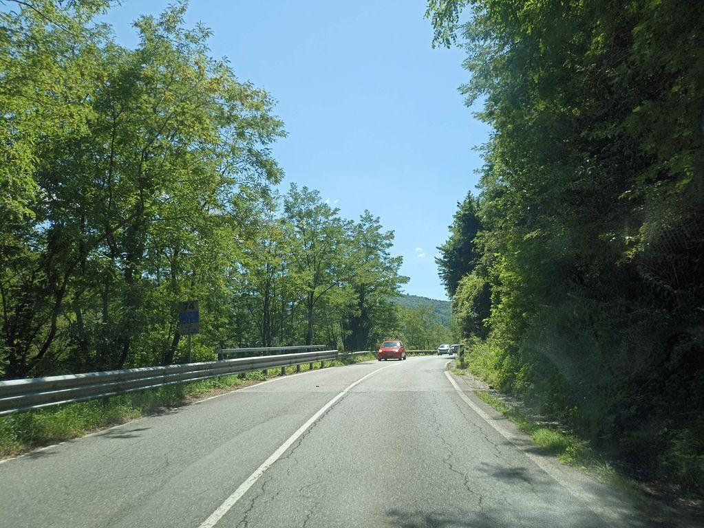 KM 17.1
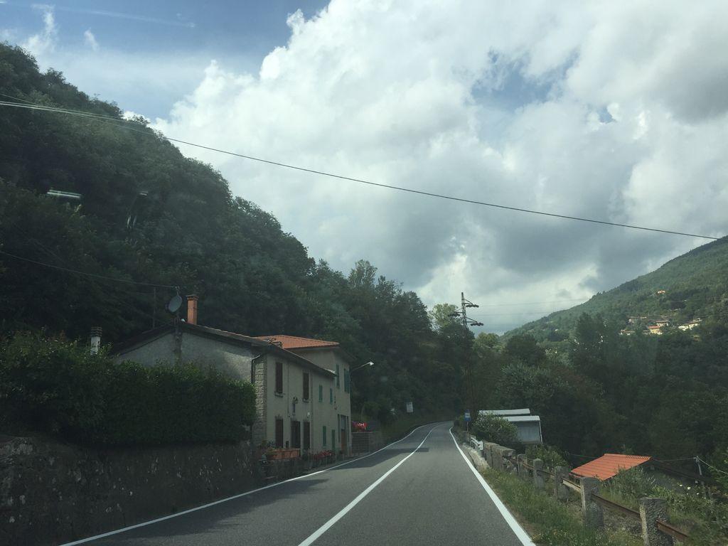 KM 17.6
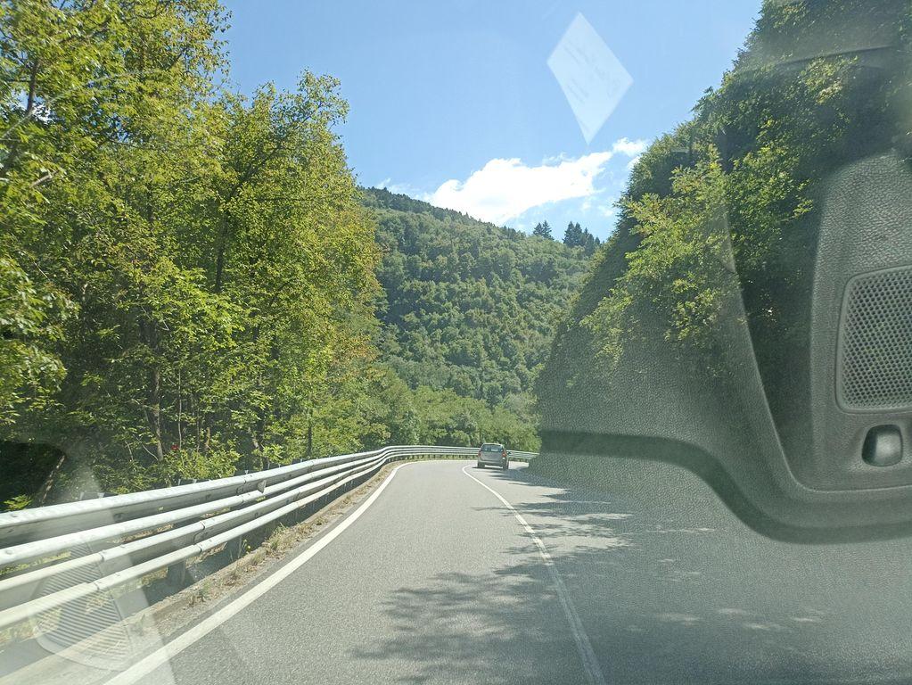 KM 18.1
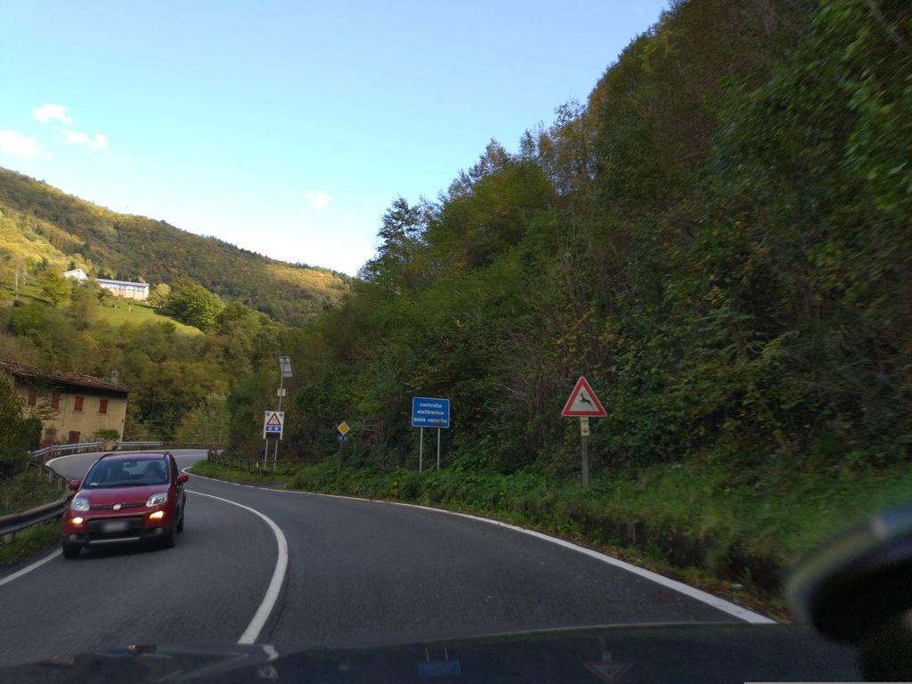 KM 18.6
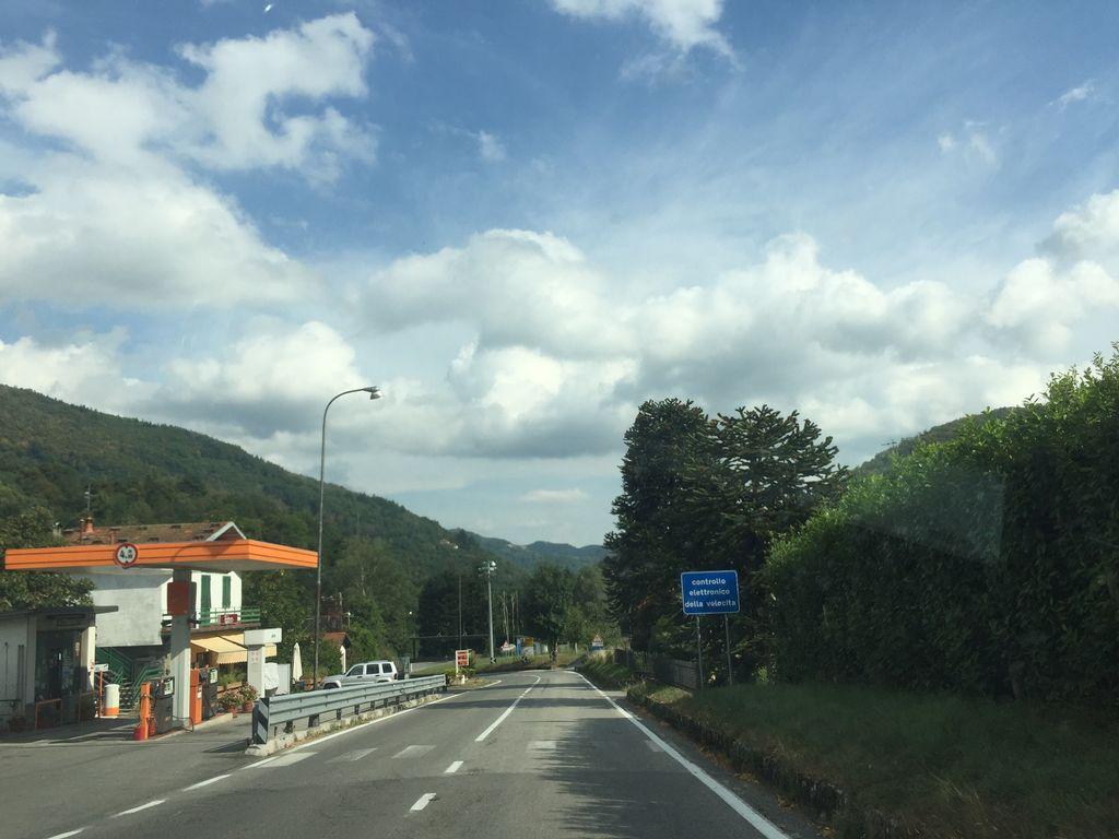 KM 19.1
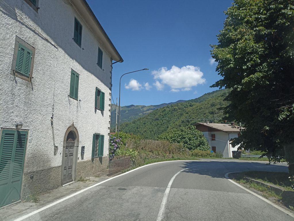 KM 19.6
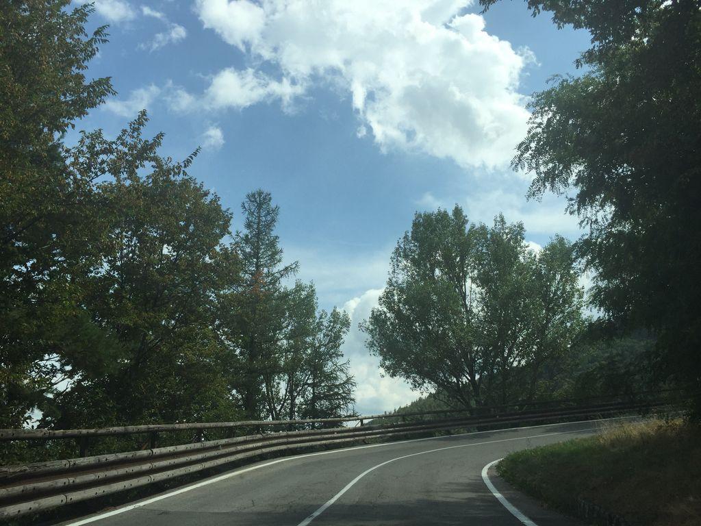 KM 20.2
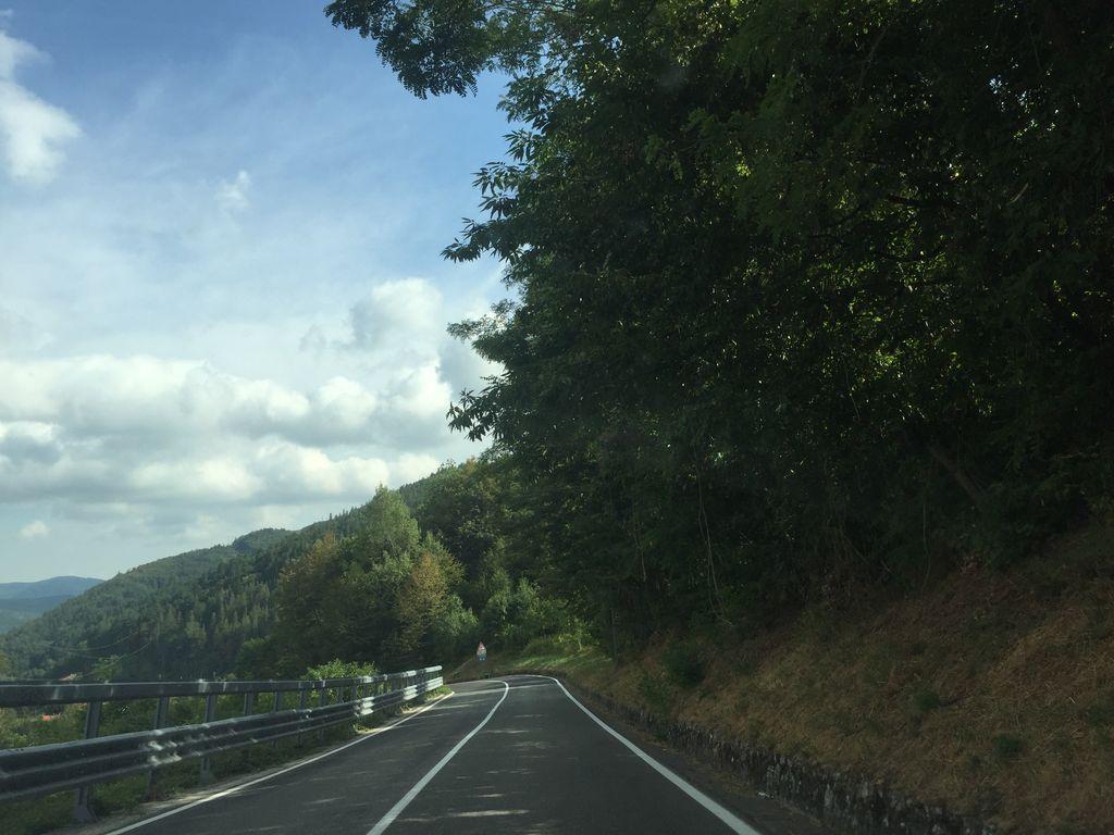 KM 20.7
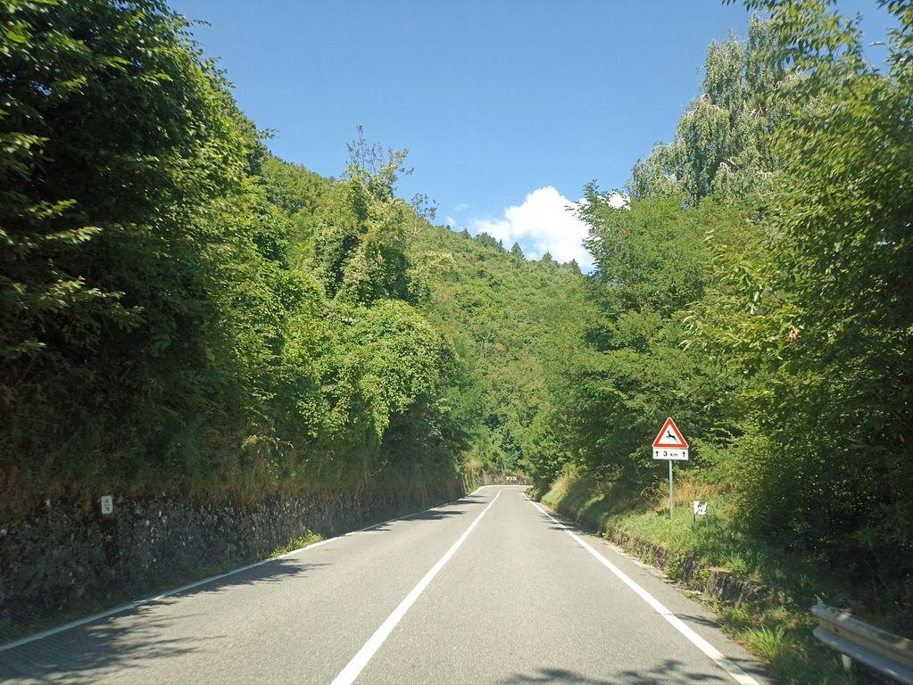 KM 21.2
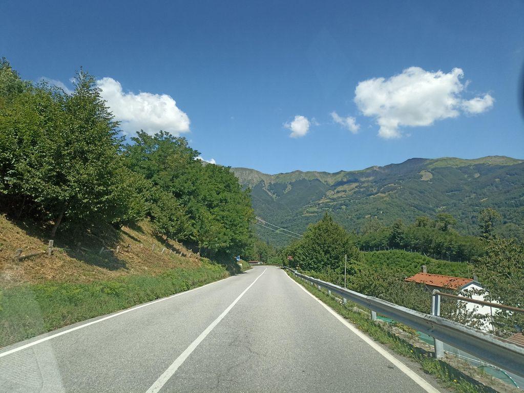 KM 22.7
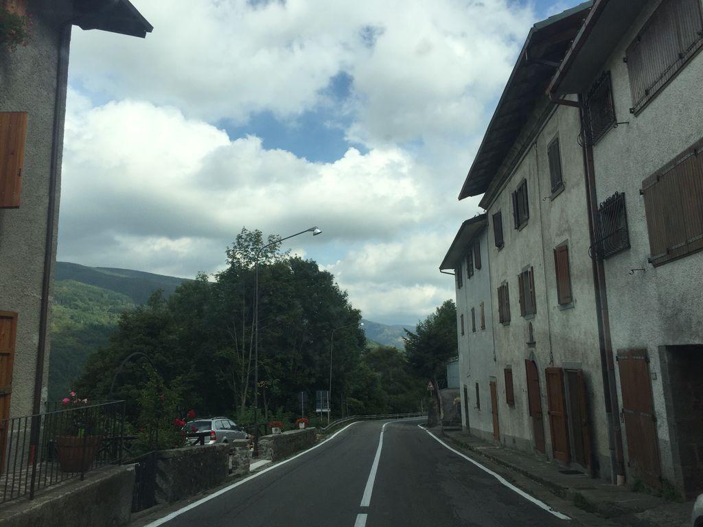 KM 24.2
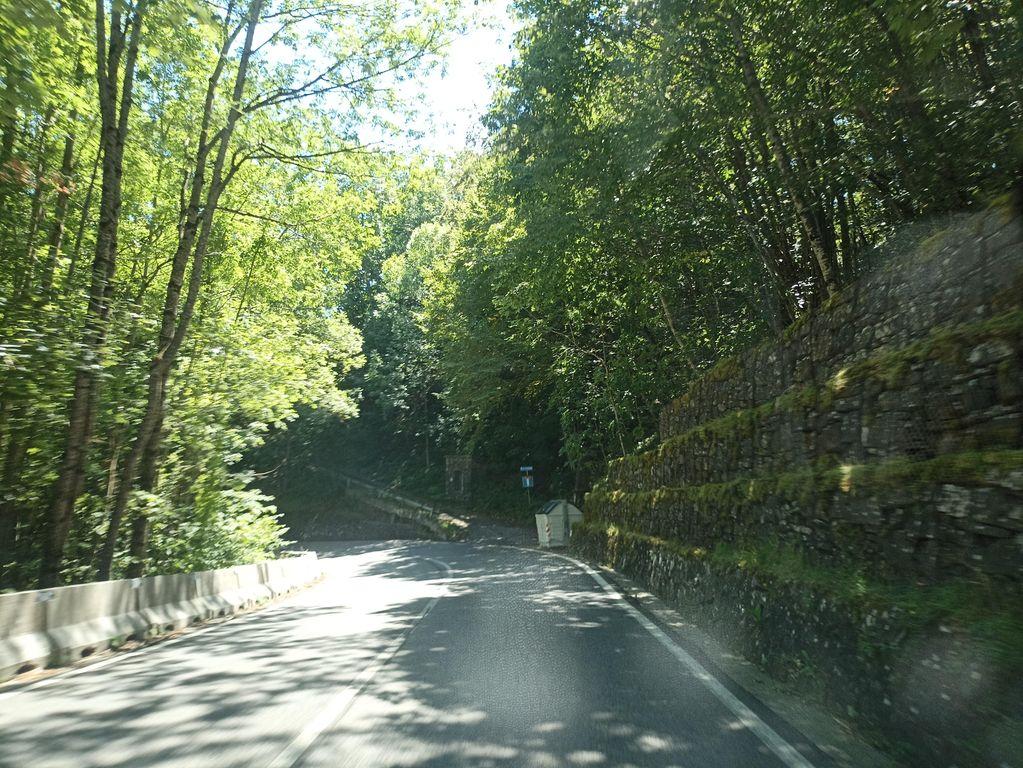 KM 24.7
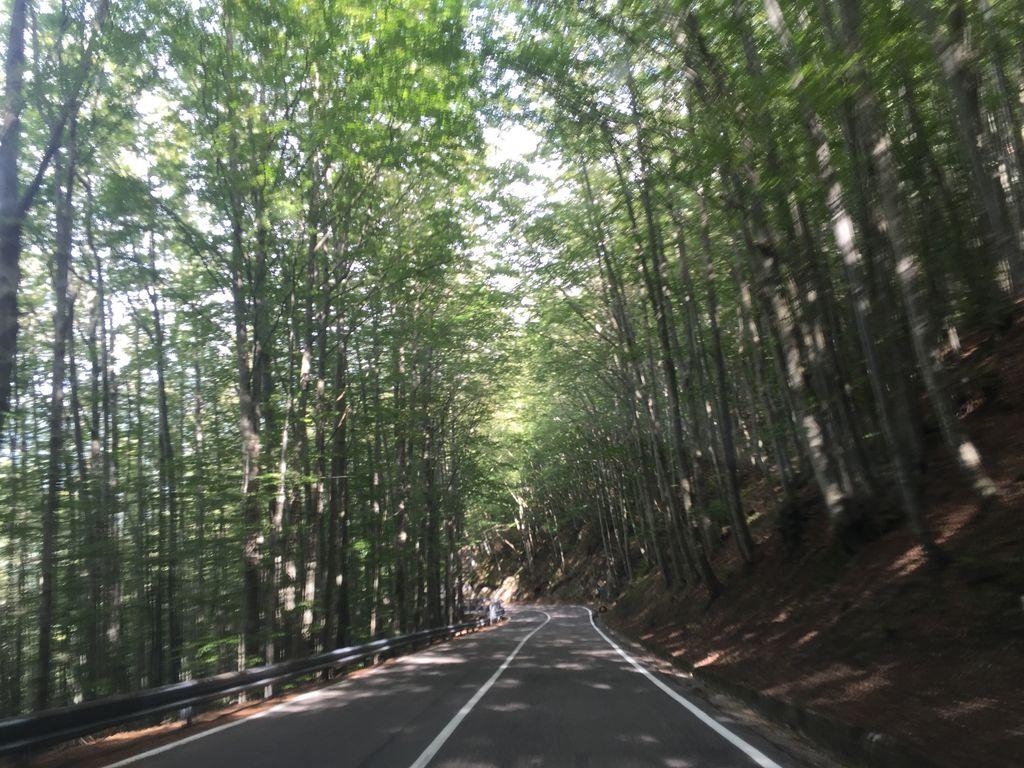 KM 25.3
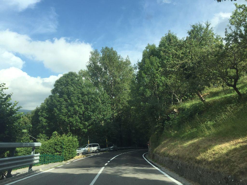 KM 25.8
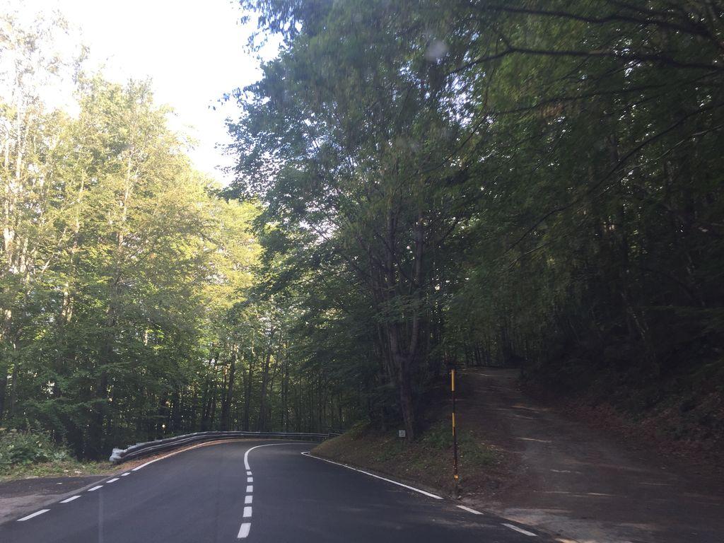 KM 26.3
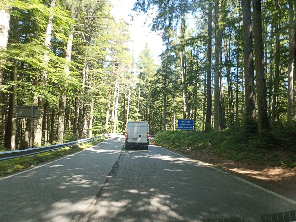 KM 27.3
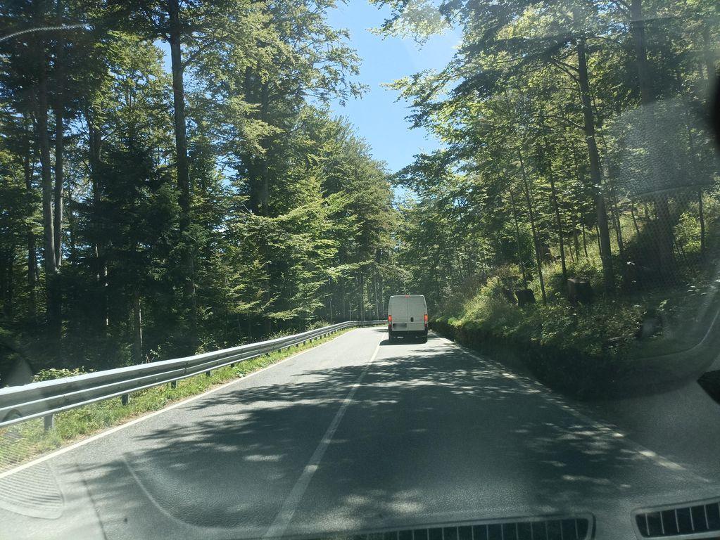 KM 28.3
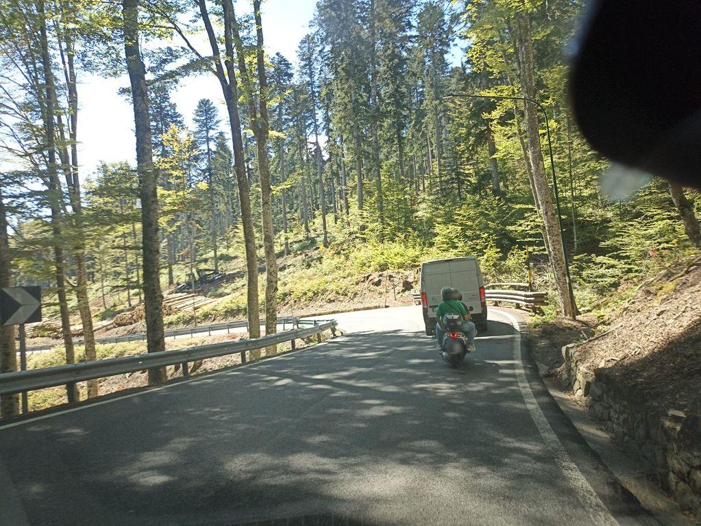 KM 29.8
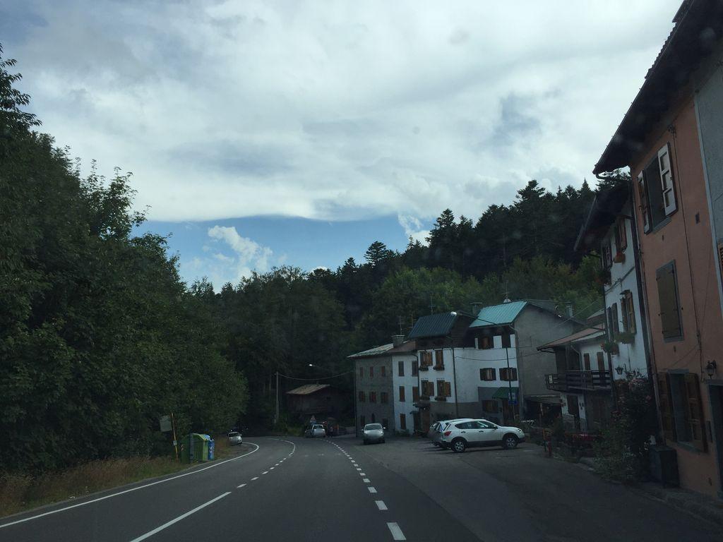 KM 30.4
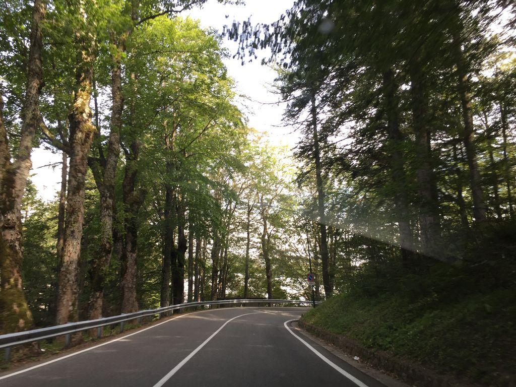 KM 30.9
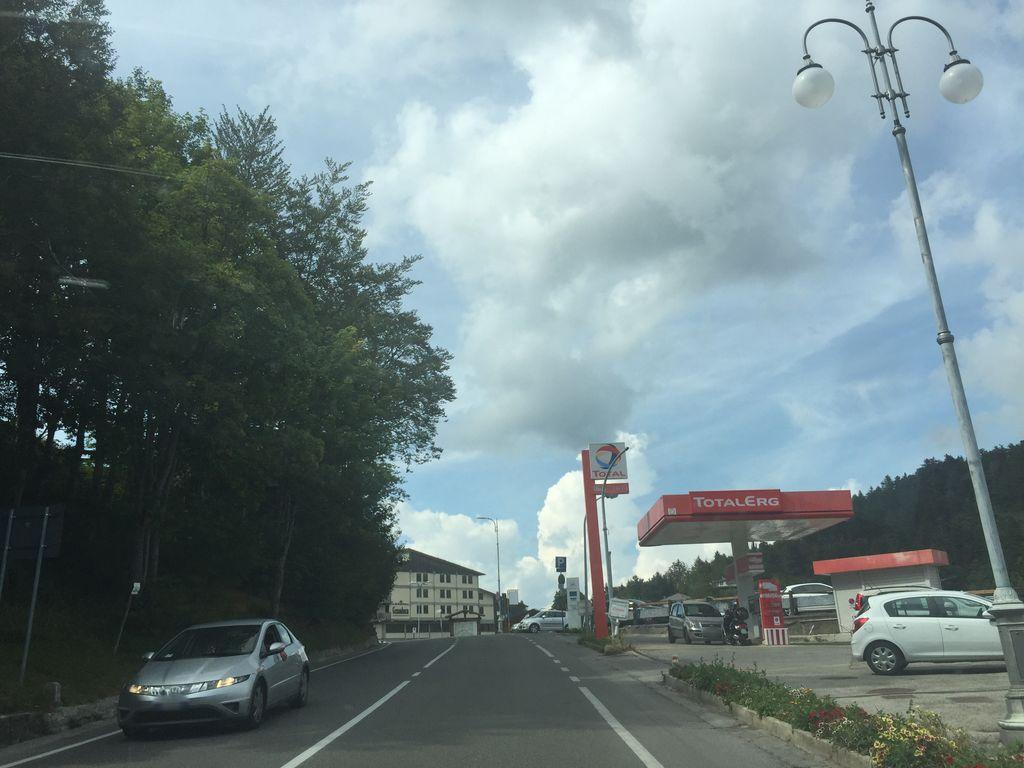 KM 31.4
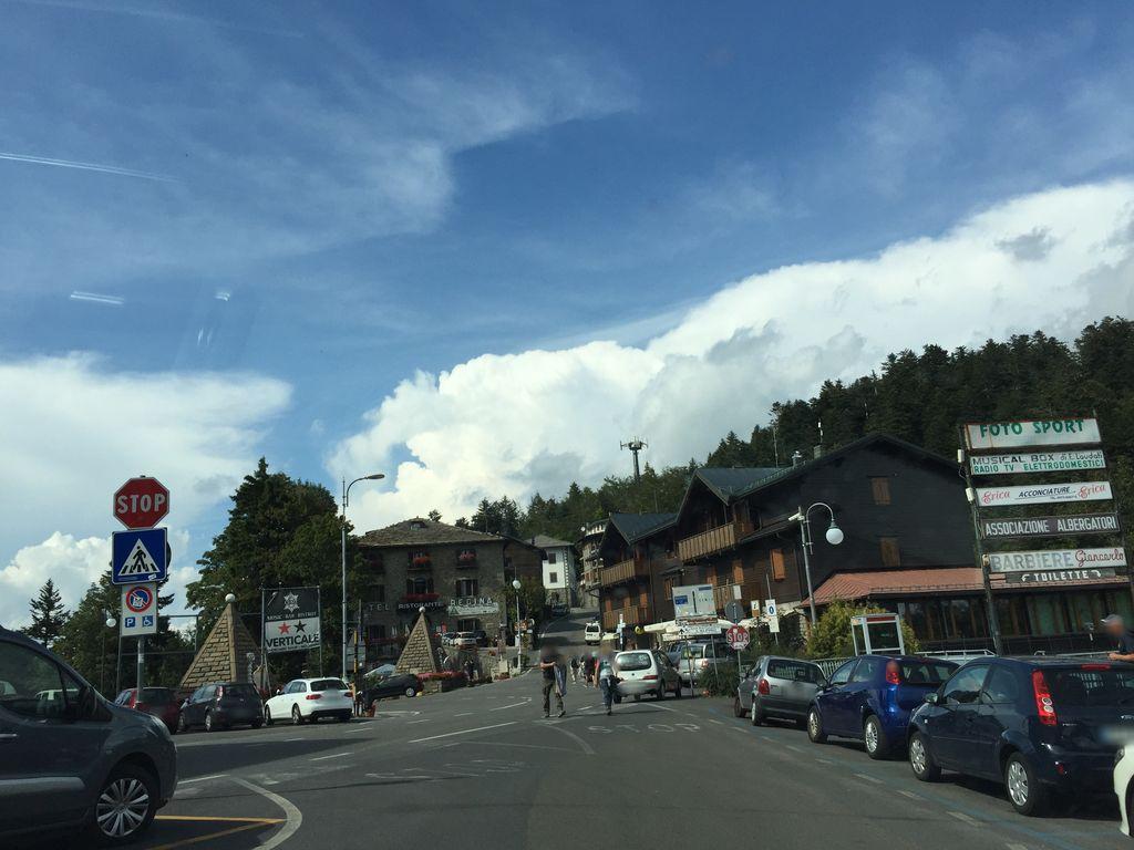 KM 31.6
PASSO DELL'ABETONE
Summit
1388m
Approaches
3
Hardest
CAT 1
Hardest side
31.4km