Col du Télégraphe
French Alps, France
Gradient:
<4%
4–7%
7–10%
10–12%
>12%
APPROACH ROUTES
Col du Télégraphe is a Category 1 cycling climb in the French Alps, France, cresting at 1 566 m. Its hardest ascent, from Saint-Michel-de-Maurienne, covers 12.1 km at 7.0% average, gaining 841 m, with ramps up to 12.5%. The steepest kilometre averages 11.1%, around km 10.9. It can also be climbed from Valloire (4.7 km at 3.2%): 2 measured approaches in all, each profiled kilometre-by-kilometre against Copernicus GLO-30 elevation data. On the Fiets scale it rates 6.4. Late spring through autumn offers the most reliable conditions on the pass.
RIDE THE CLIMB — FROM SAINT-MICHEL-DE-MAURIENNE
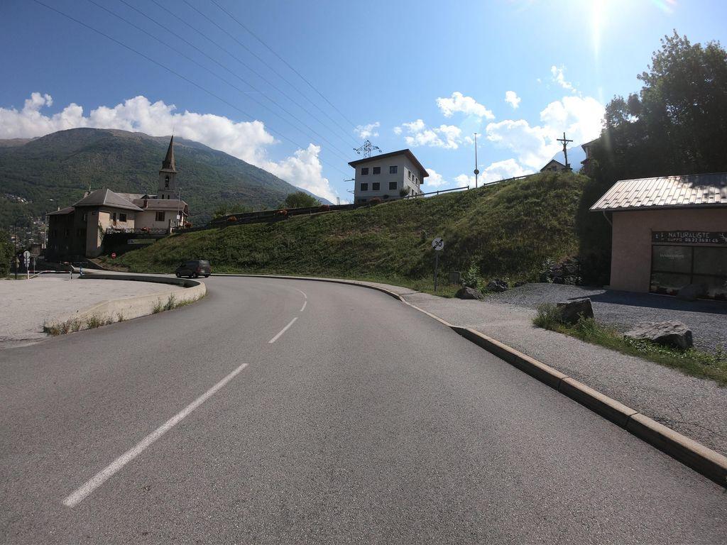 KM 1.3
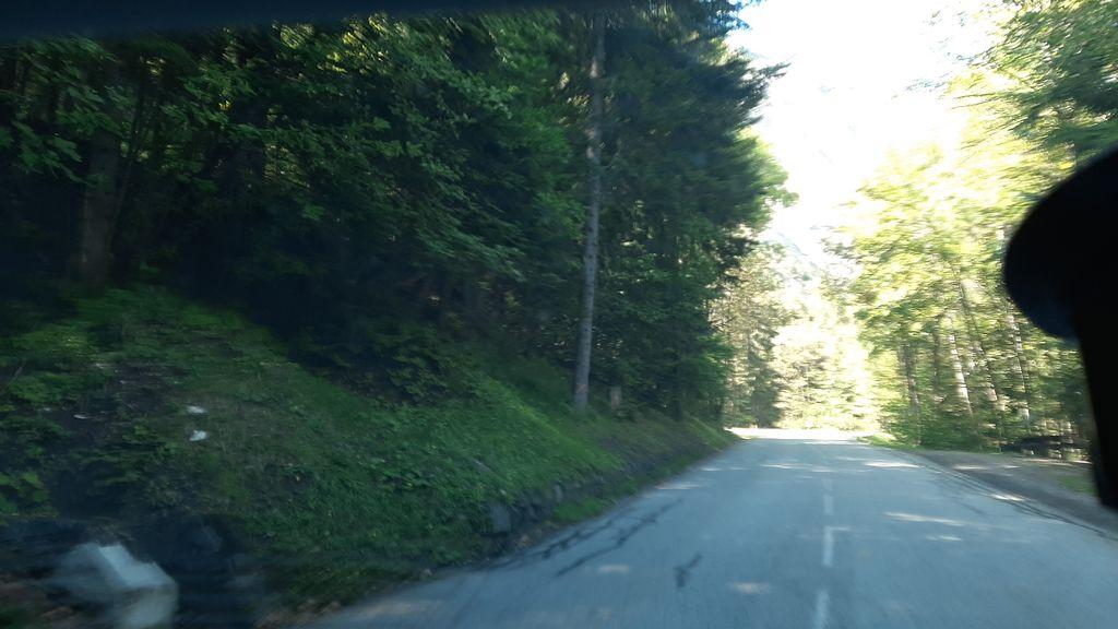 KM 5.0
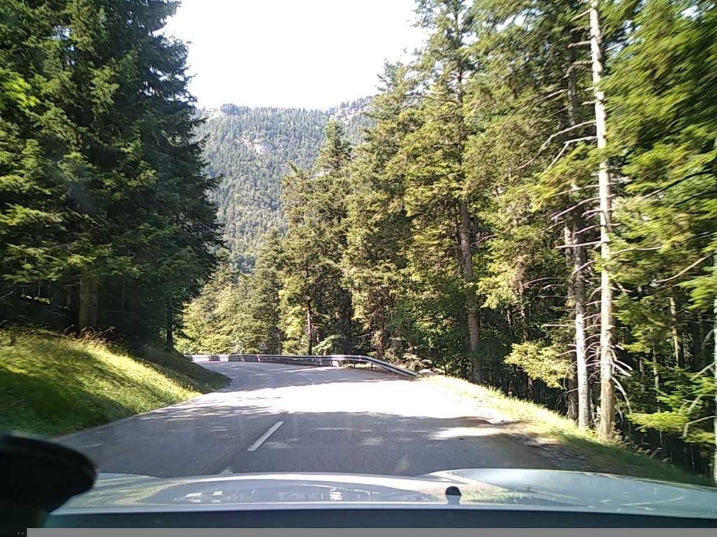 KM 6.1
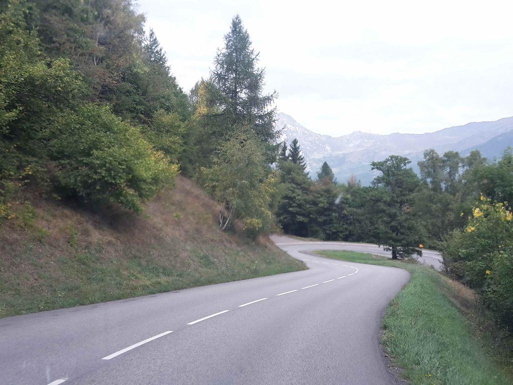 KM 7.6
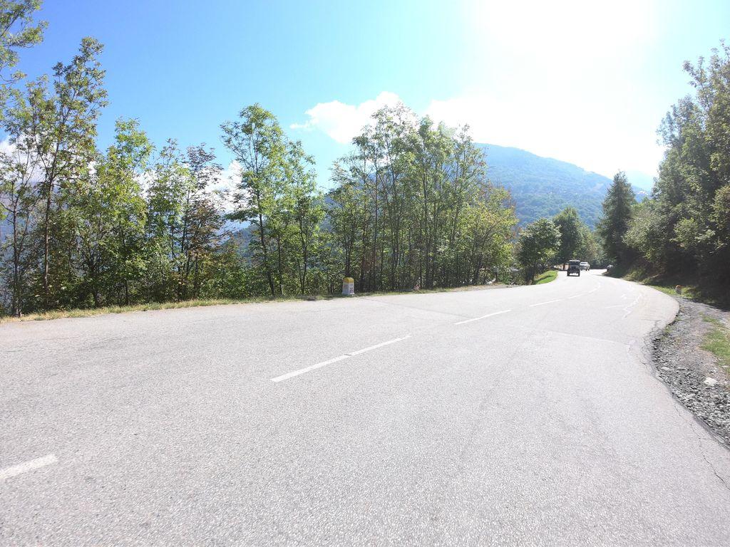 KM 8.2
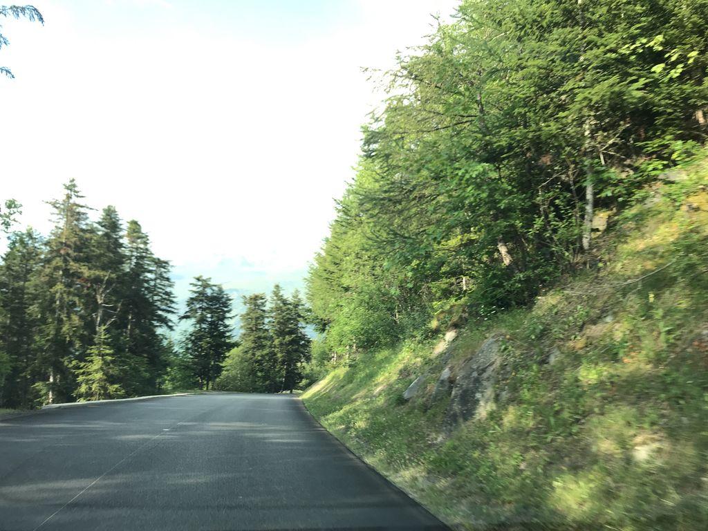 KM 9.7
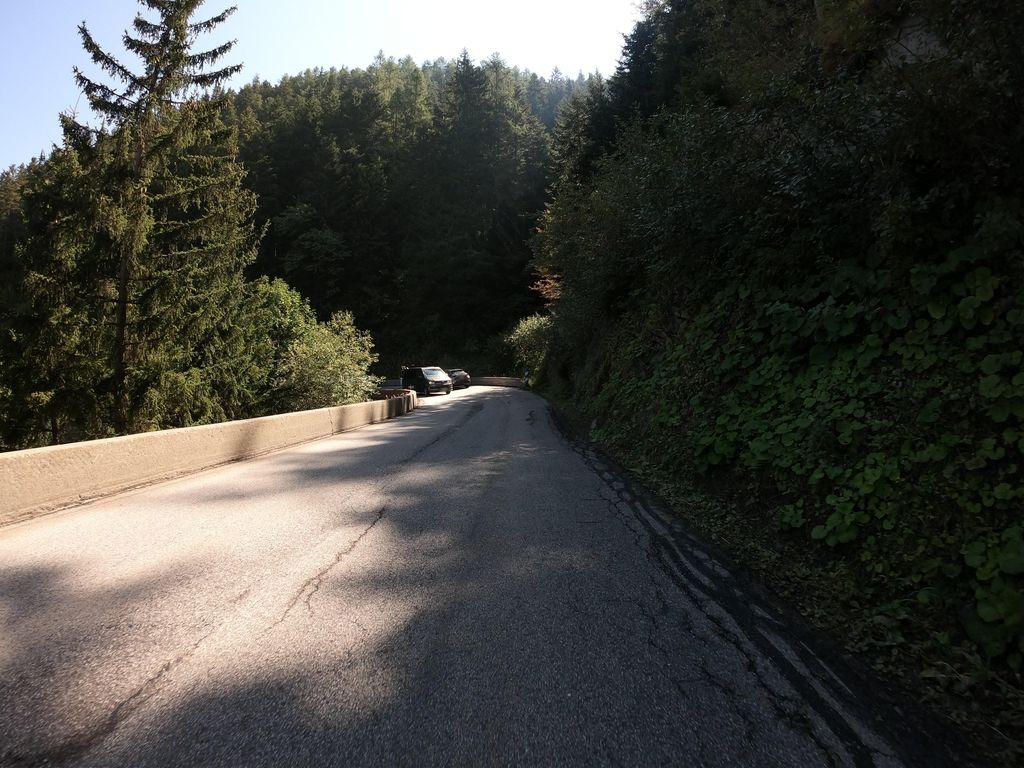 KM 10.3
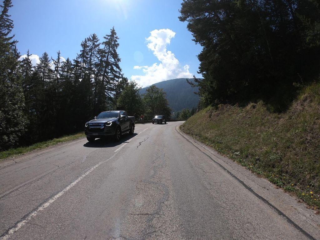 KM 12.1
COL DU TÉLÉGRAPHE
Summit
1566m
Approaches
2
Hardest
CAT 1
Hardest side
12.1km