Col de Martimpré
Vosges, France
Gradient:
<4%
4–7%
7–10%
10–12%
>12%
APPROACH ROUTES
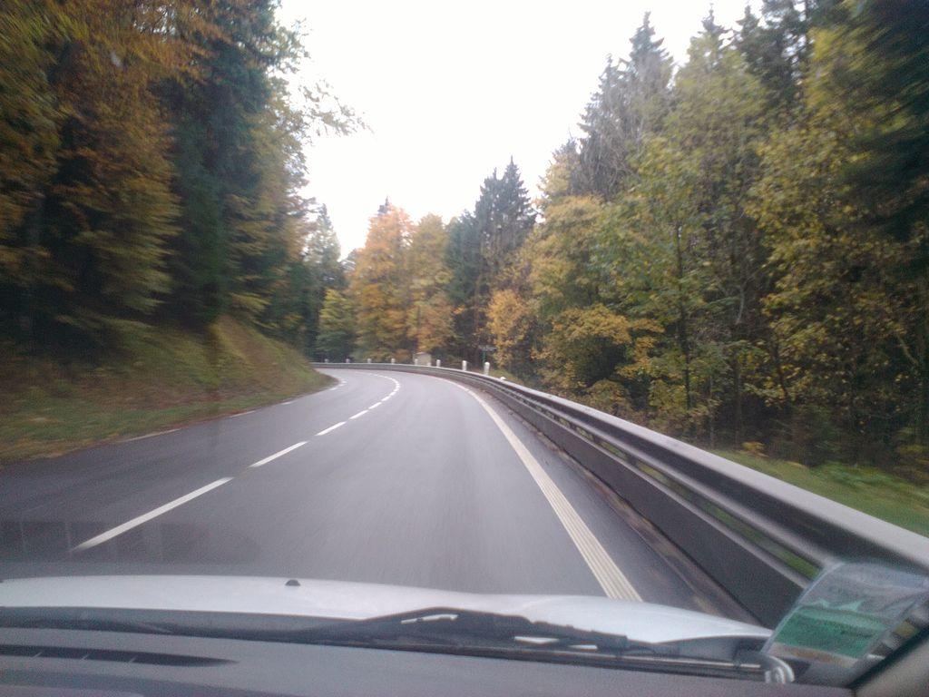
Col de Martimpré is a Category 4 ascent in the Vosges, France, topping out at 796 m. From Gerbépal it rises 5.8 km at 3.2% average — 183 m of ascent, steepening to 7.3%. The steepest kilometre averages 6.1%, around km 1.4. The approach is profiled kilometre-by-kilometre against Copernicus GLO-30 elevation data. On the Fiets scale it rates 0.6. Spring to autumn brings the steadiest riding, with snow possible in mid-winter.
RIDE THE CLIMB — FROM GERBÉPAL
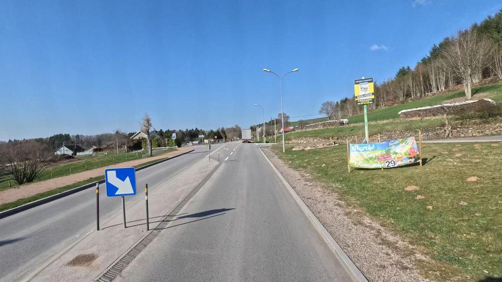 KM 0.3
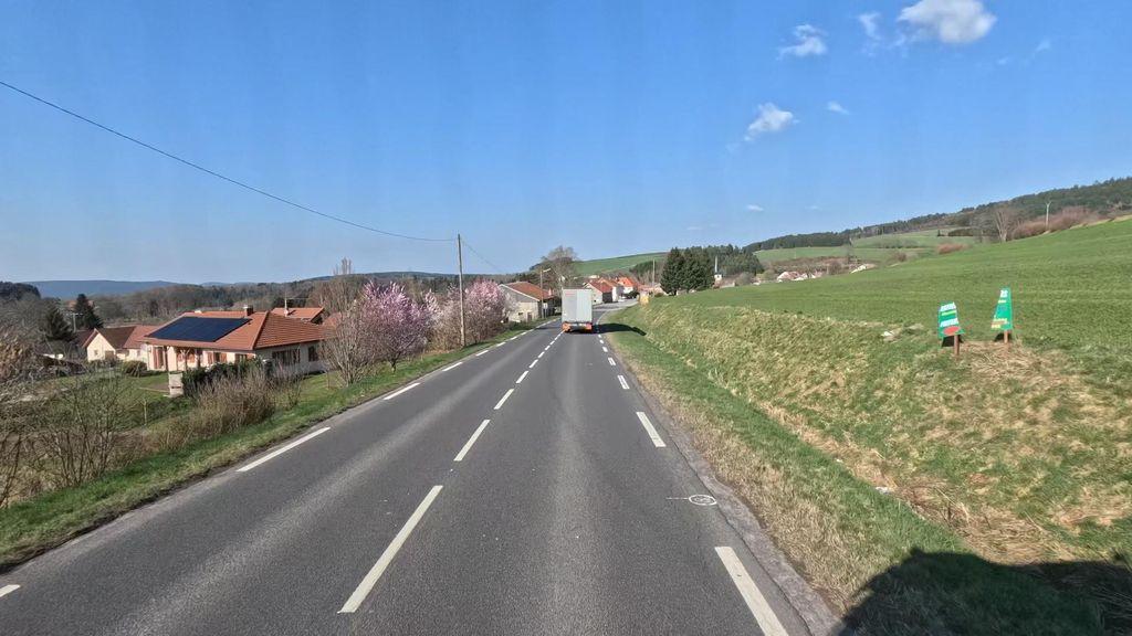 KM 0.8
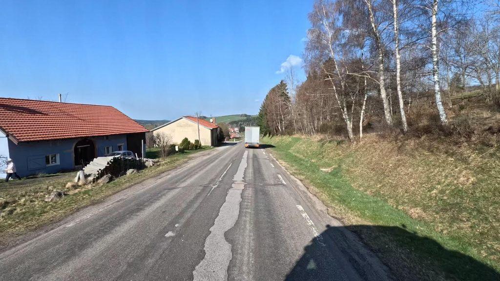 KM 1.3
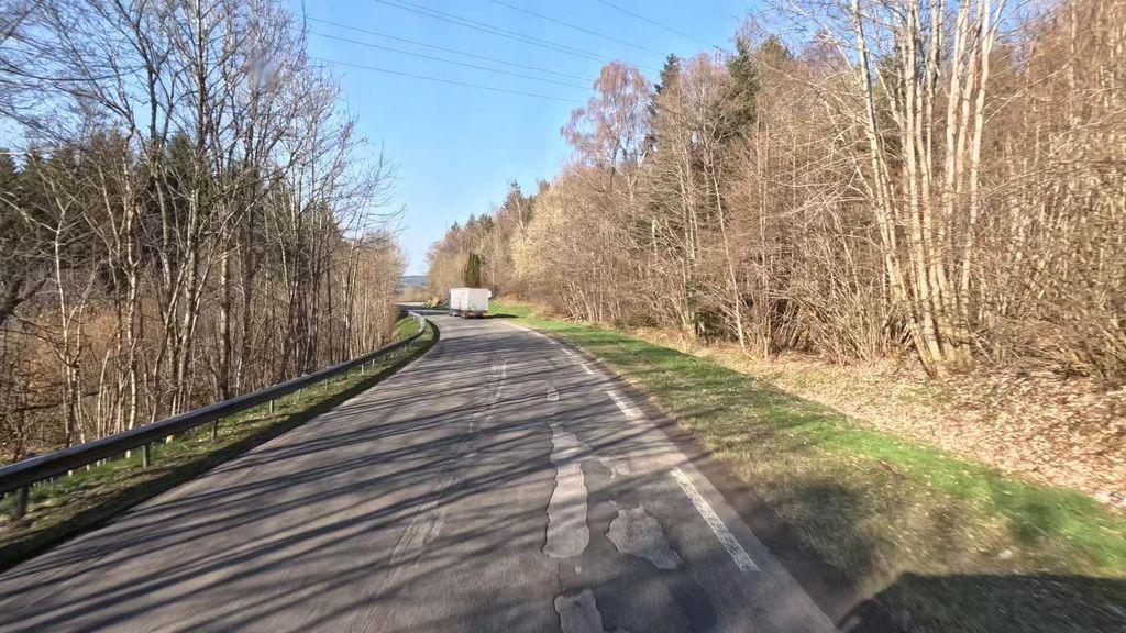 KM 1.9
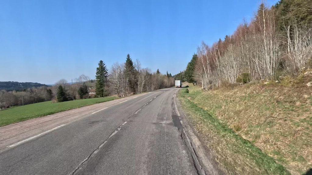 KM 2.4
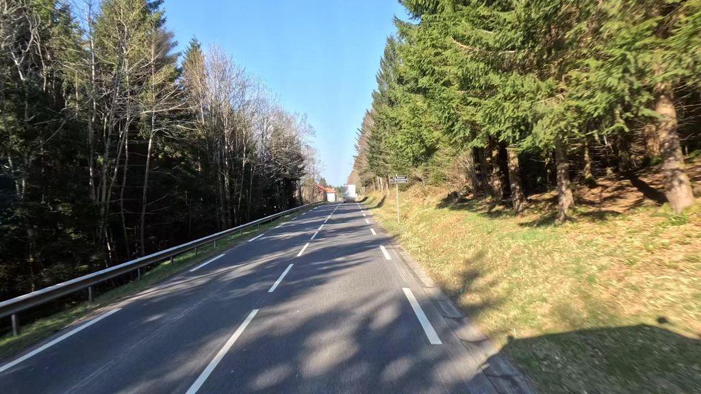 KM 4.0
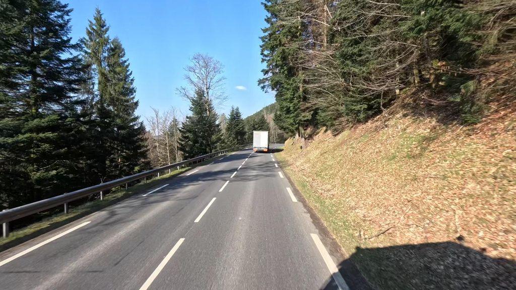 KM 5.0
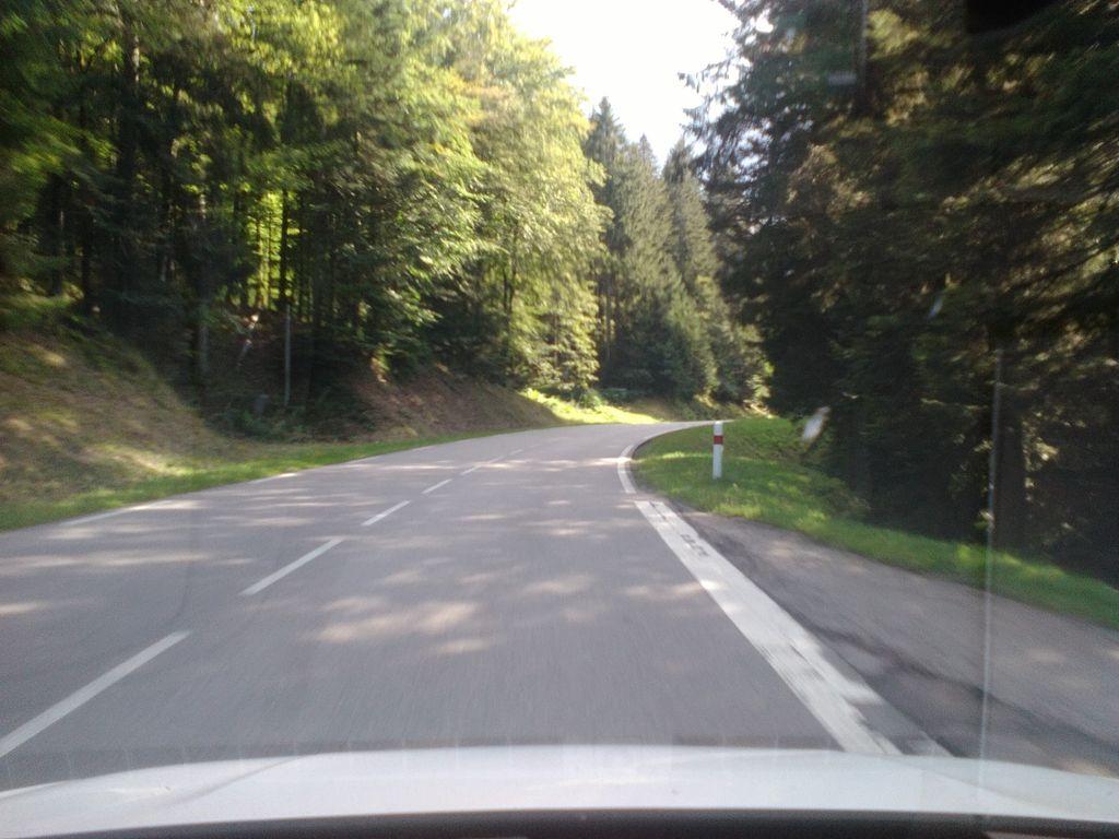 KM 5.6
 KM 5.8
COL DE MARTIMPRÉ
Summit
796m
Approaches
1
Hardest
CAT 4
Hardest side
5.8km