Col de Châteauneuf
French Alps, France
Gradient:
<4%
4–7%
7–10%
10–12%
>12%
APPROACH ROUTES
Col de Châteauneuf is a Category 2 ascent in the French Alps, France, topping out at 627 m. The Contes approach is the hardest — 6.7 km at 6.5%, 434 m gained, maxing at 13.7%. The steepest kilometre averages 11.2%, around km 0.9. It can also be climbed from Tourrette-Levens (5.5 km at 4.4%): 2 measured approaches in all, each profiled kilometre-by-kilometre against Copernicus GLO-30 elevation data. On the Fiets scale it rates 2.8. Spring to autumn brings the steadiest riding, with snow possible in mid-winter.
RIDE THE CLIMB — FROM CONTES
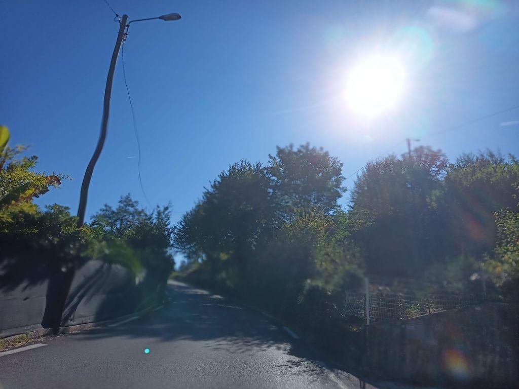 KM 0.3
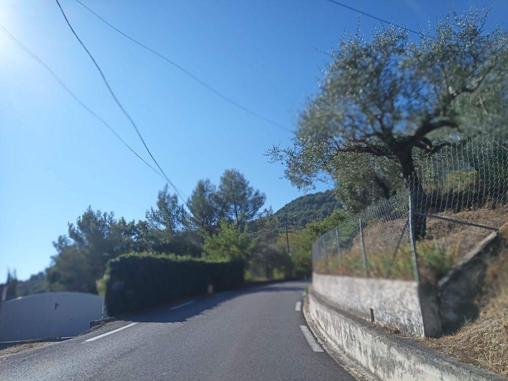 KM 0.8
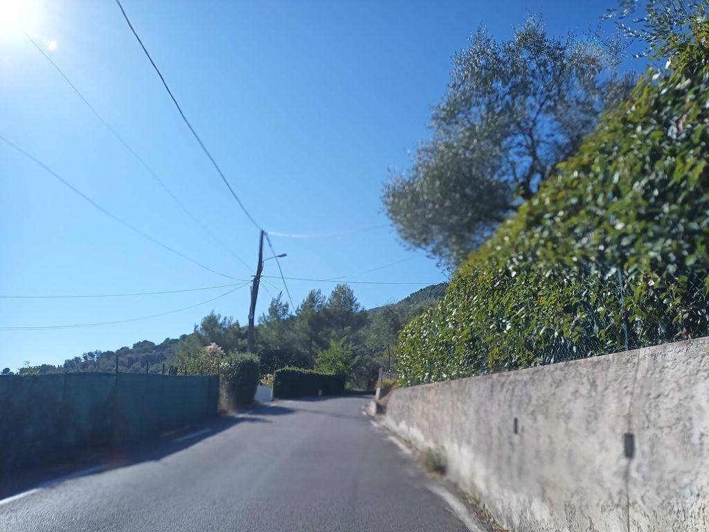 KM 1.4
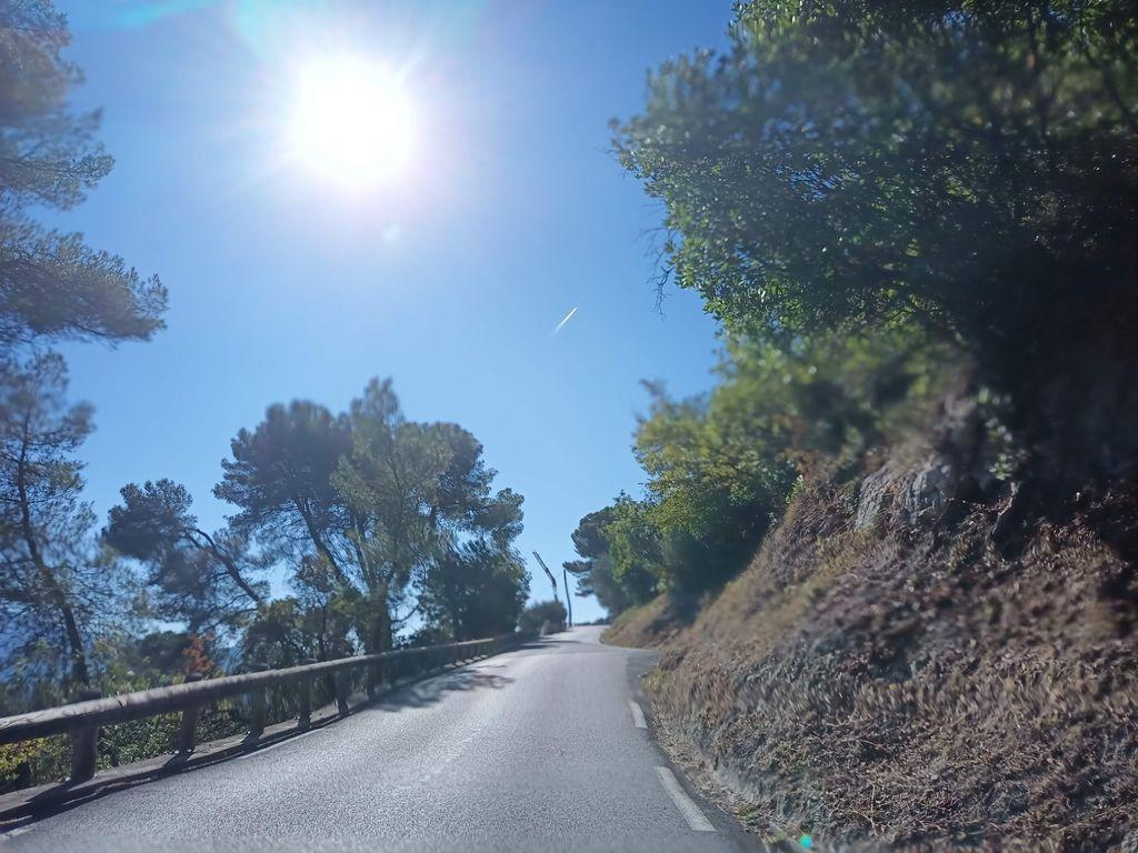 KM 2.0
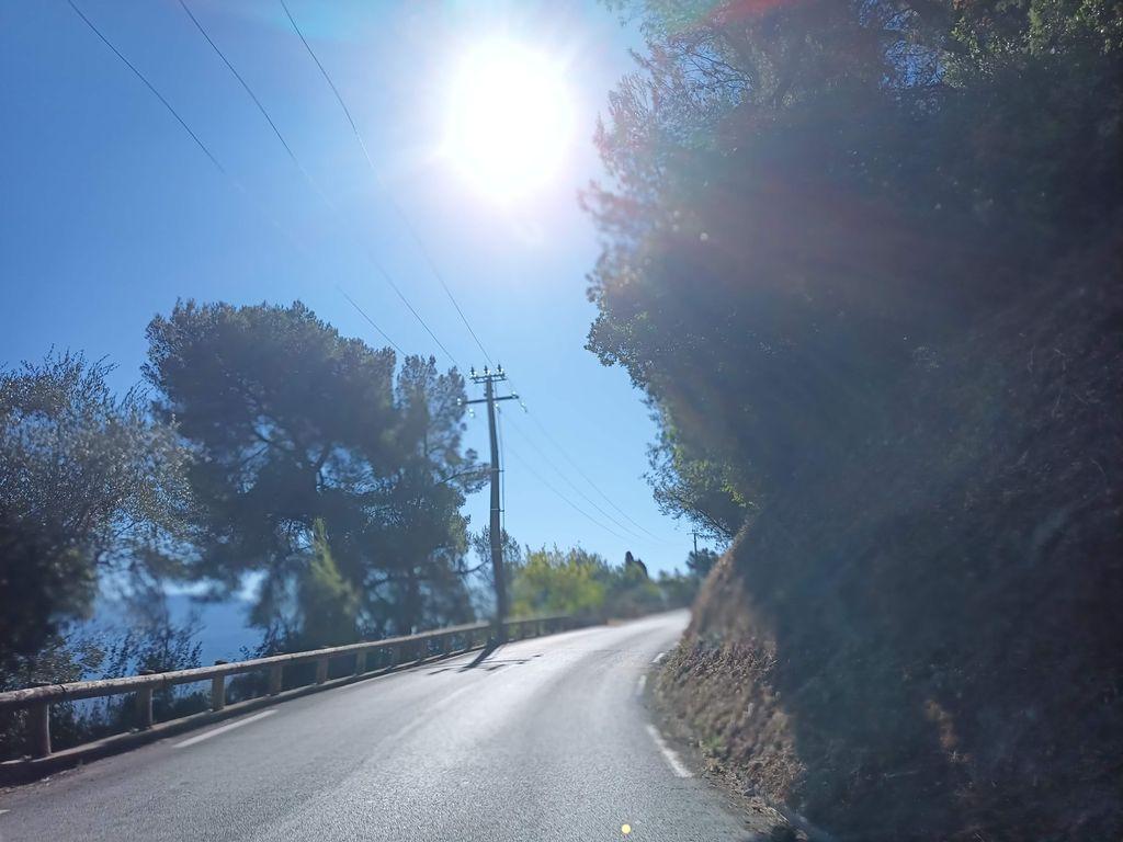 KM 2.5
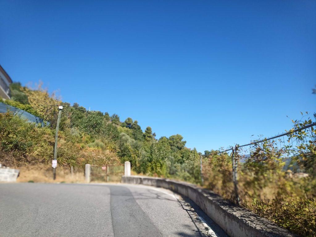 KM 3.1
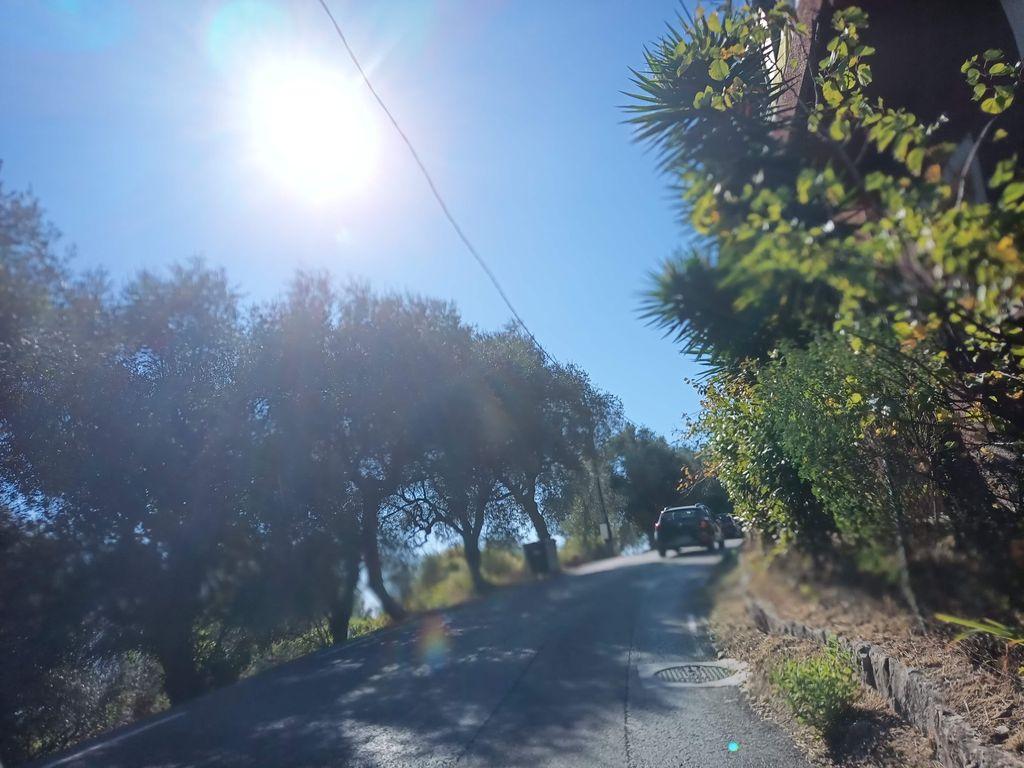 KM 3.6
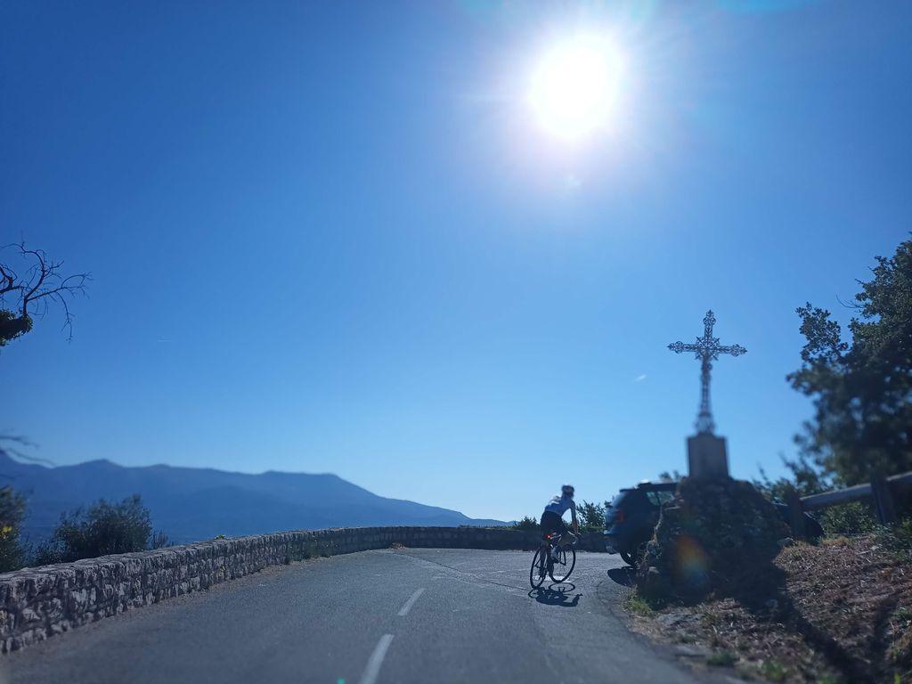 KM 4.2
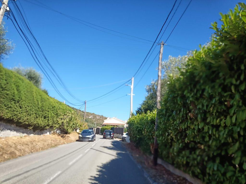 KM 4.7
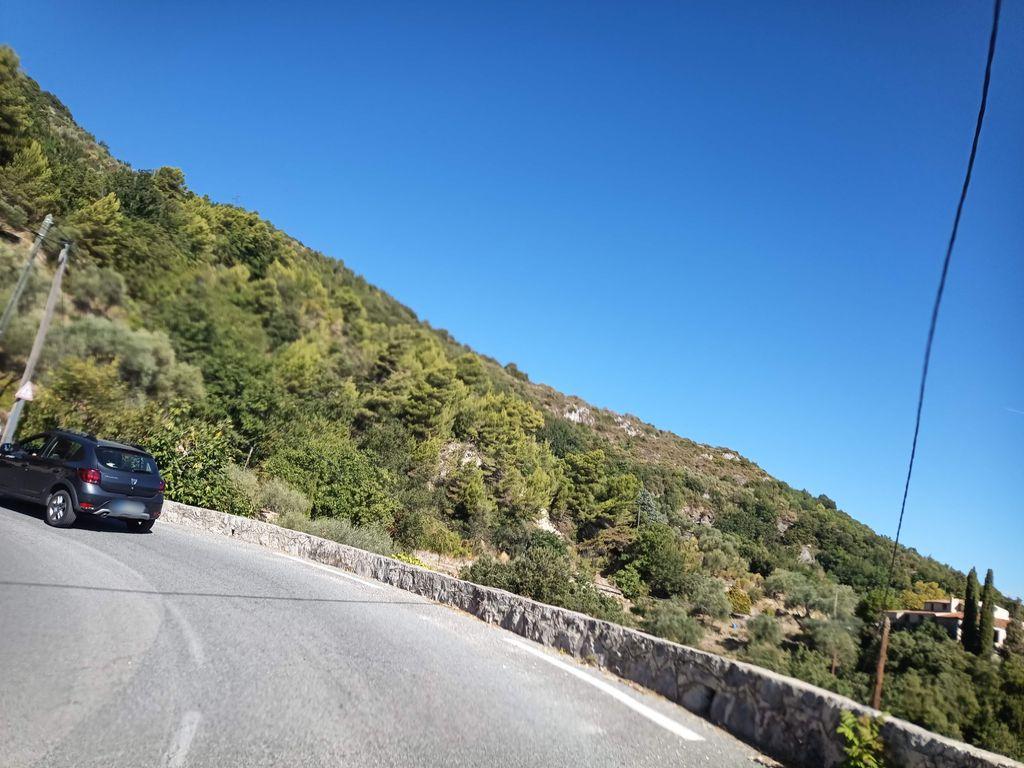 KM 5.3
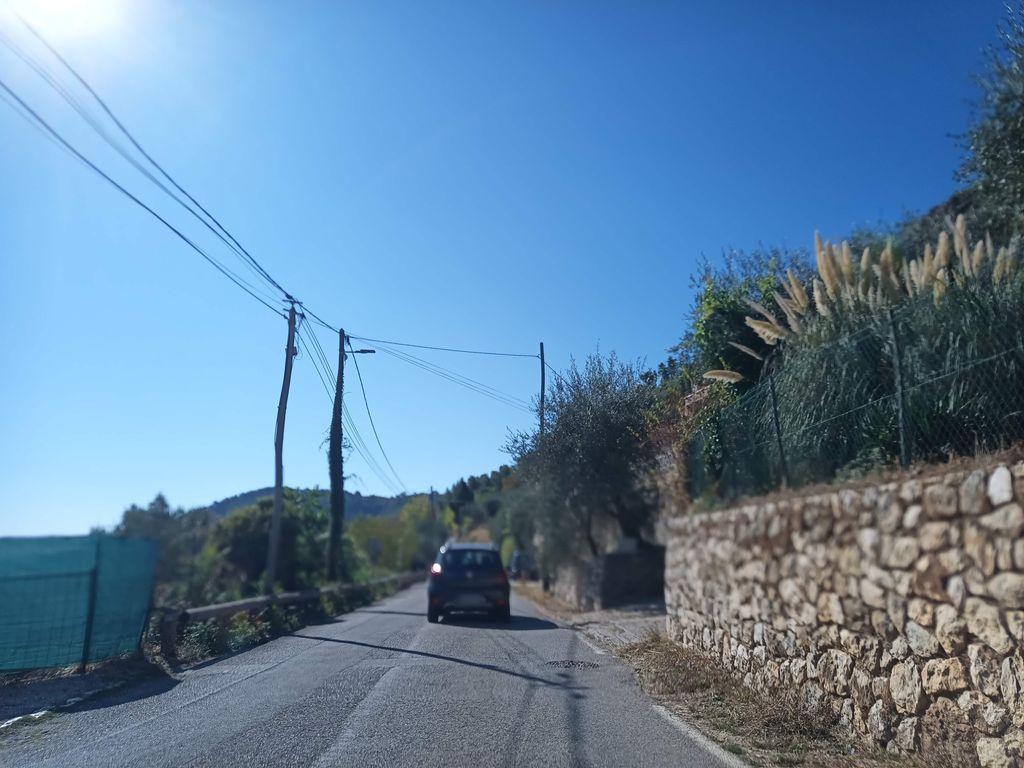 KM 5.9
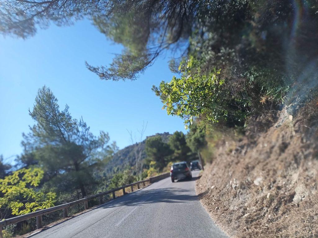 KM 6.4
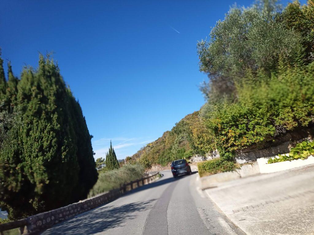 KM 6.7
COL DE CHÂTEAUNEUF
Summit
627m
Approaches
2
Hardest
CAT 2
Hardest side
6.7km