Portillo de la Sía
from Las Machorras · Cantabria, Spain
Gradient:
<4%
4–7%
7–10%
10–12%
>12%
GRADIENT PROFILE
<4%4–7%7–10%10–12%>12%
Km-by-km average gradient from Copernicus GLO-30 elevation data along the road.
From Las Machorras, Portillo de la Sía climbs 7.4 km at 5.6% average, gaining 413 m to the 1 200 m summit, ramping to 11.0%. Its steepest kilometre averages 8.7% near km 6.5. On the Fiets scale this side rates 2.5. It is the gentler of the two approaches.
Surface
Asphalt98%
Gravel2%
Verified from OpenStreetMap surface data along the climb.
RIDE THE CLIMB
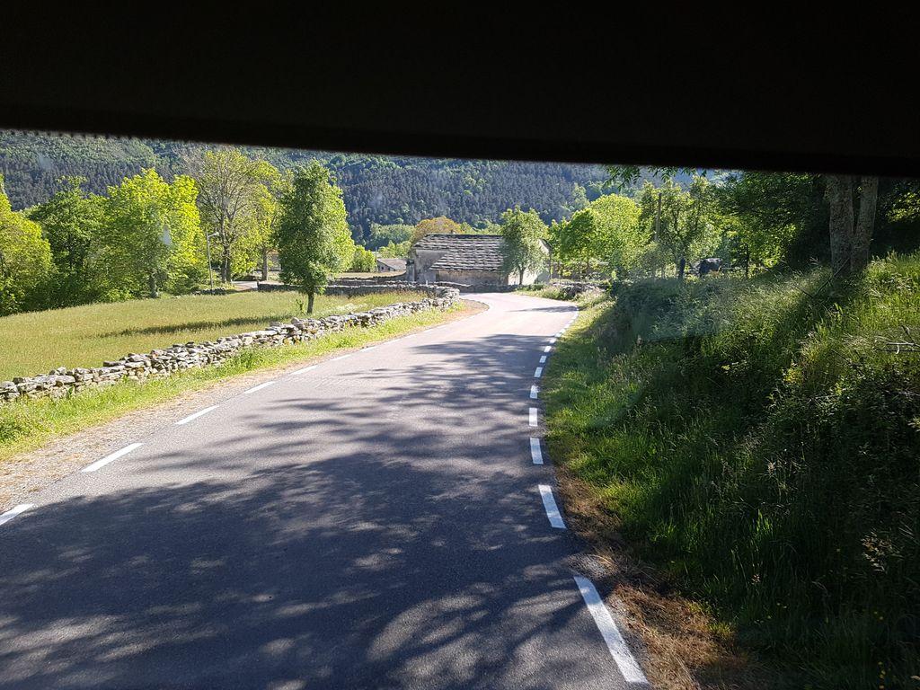 KM 0.8
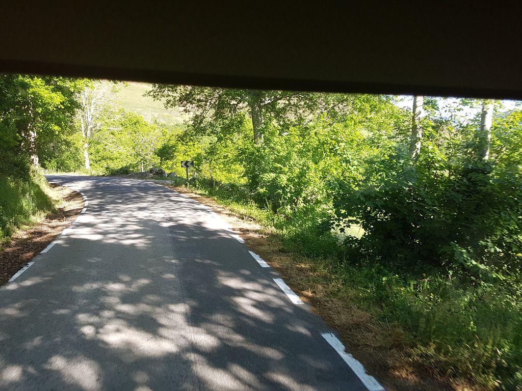 KM 1.3
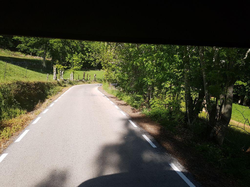 KM 1.9
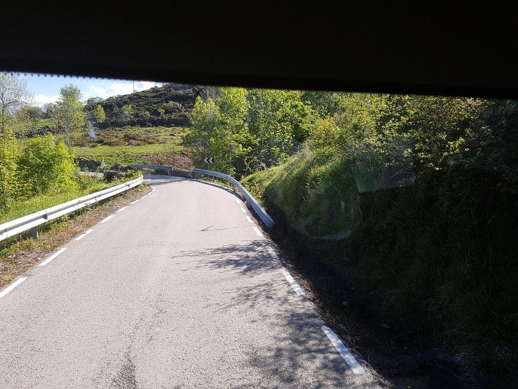 KM 3.4
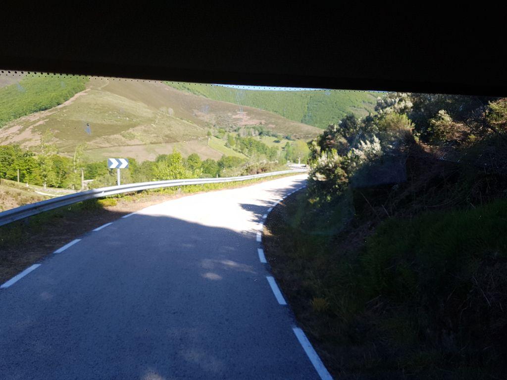 KM 4.0
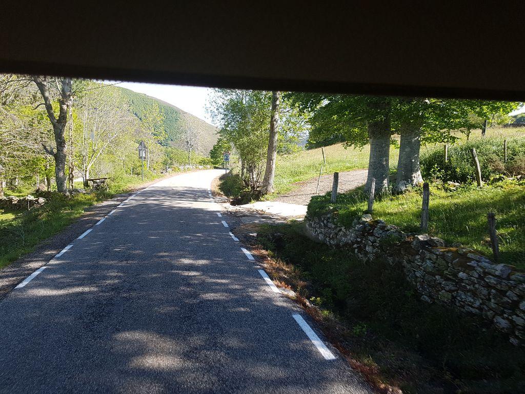 KM 4.5
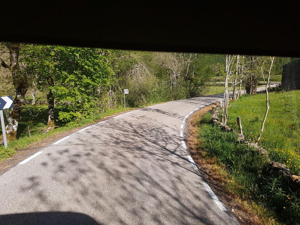 KM 5.0
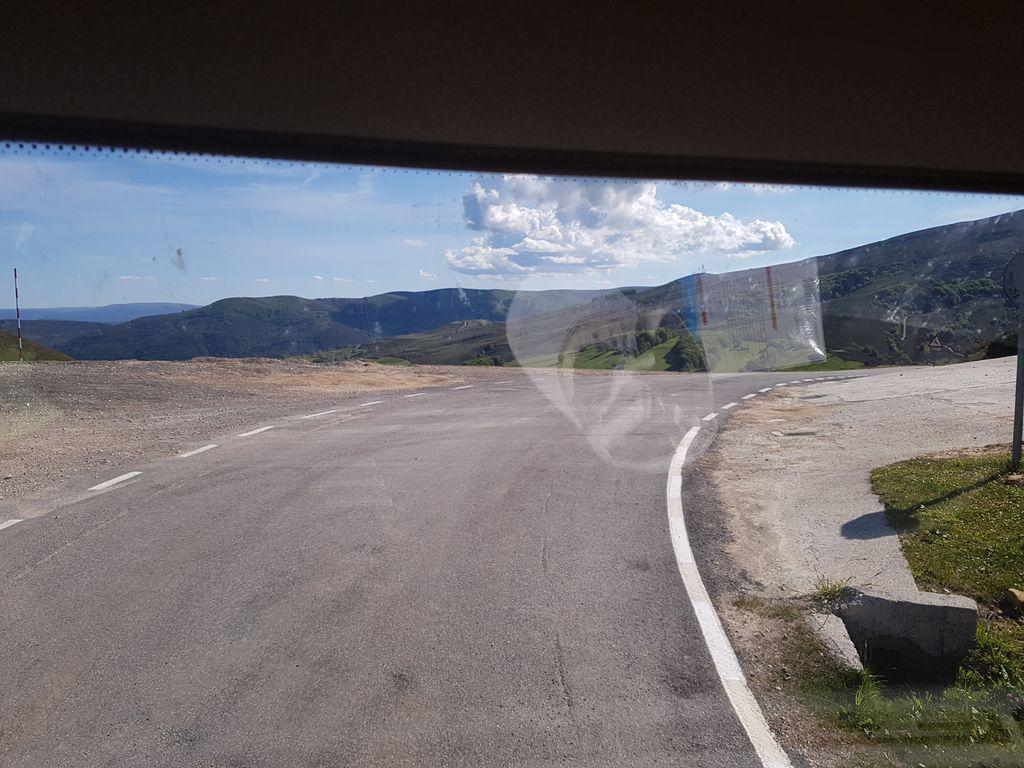 KM 7.4
FEATURED IN
FROM LAS MACHORRAS
Distance
7.4km
Elevation gain
413m
Avg gradient
5.6%
Max gradient
11%
Summit
1200m
Category
CAT 2