Col de la Charmette
French Alps, France
Gradient:
<4%
4–7%
7–10%
10–12%
>12%
APPROACH ROUTES
Col de la Charmette is a Category 1 cycling climb in the French Alps, France, cresting at 1 261 m. From Saint-Égrève it rises 13.3 km at 8.0% average — 1 067 m of ascent, steepening to 16.3%. The steepest kilometre averages 14.1%, around km 2.3. The approach is profiled kilometre-by-kilometre against Copernicus GLO-30 elevation data. On the Fiets scale it rates 8.8, among the region's hardest. Late spring through autumn offers the most reliable conditions on the pass.
RIDE THE CLIMB — FROM SAINT-ÉGRÈVE
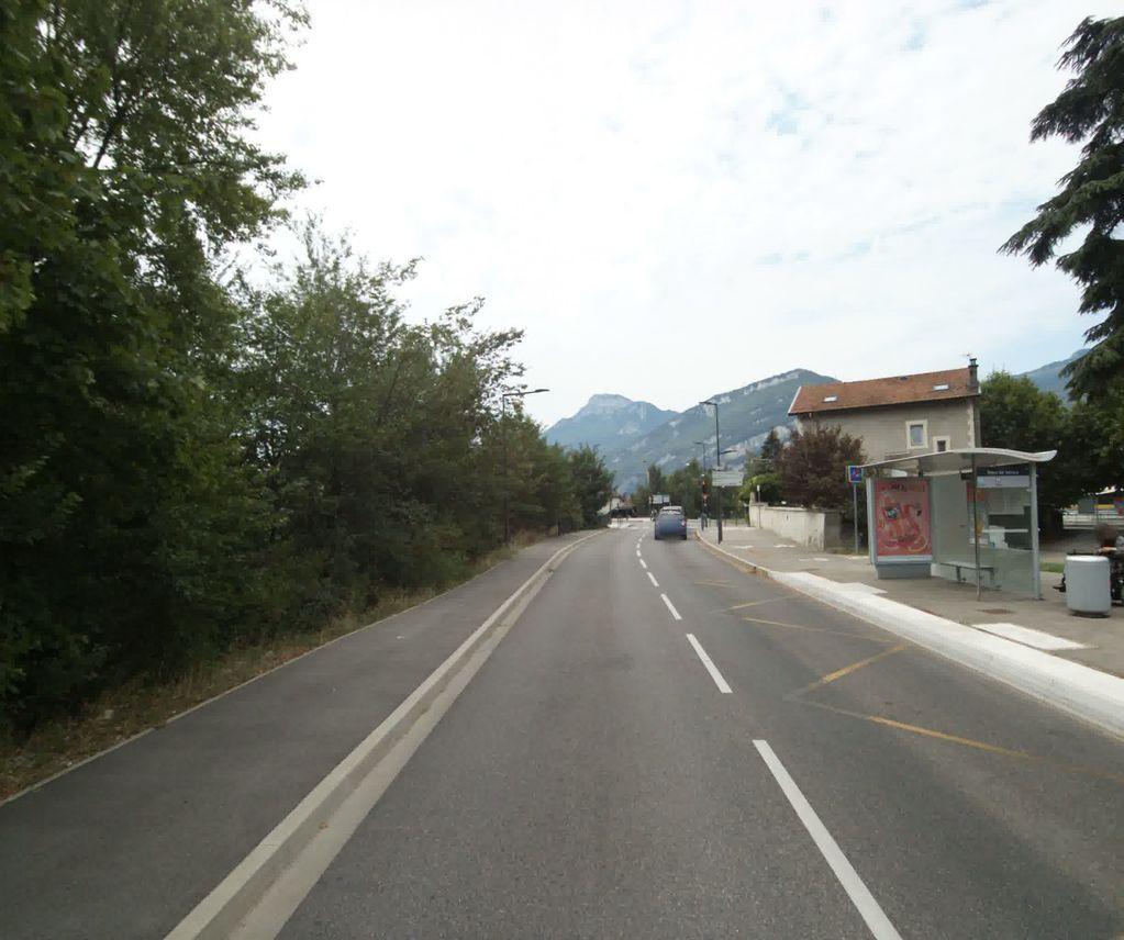 KM 0.3
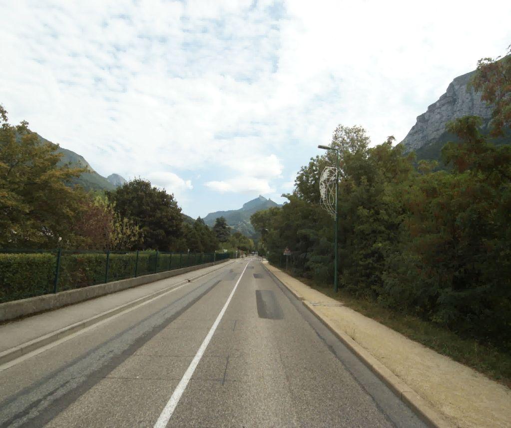 KM 0.8
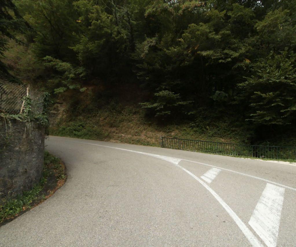 KM 1.8
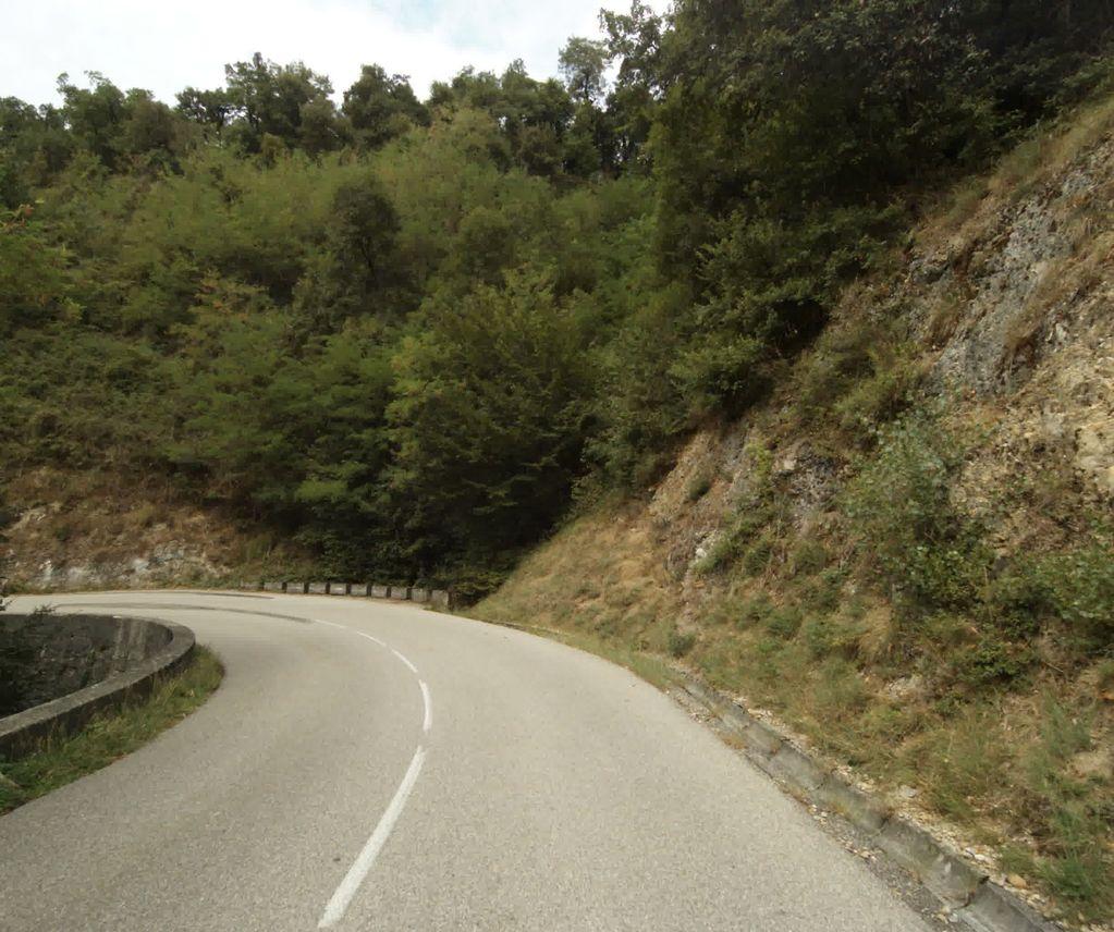 KM 2.3
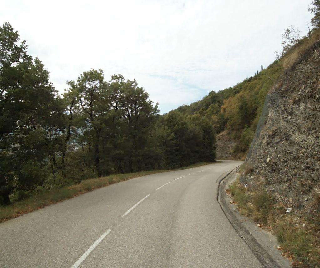 KM 2.8
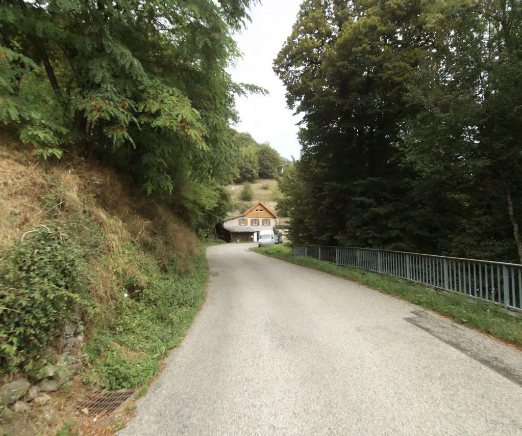 KM 4.4
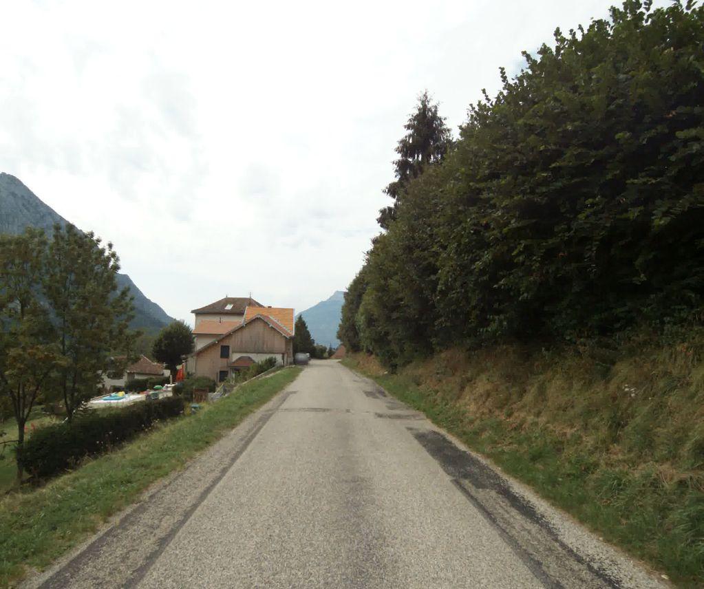 KM 4.9
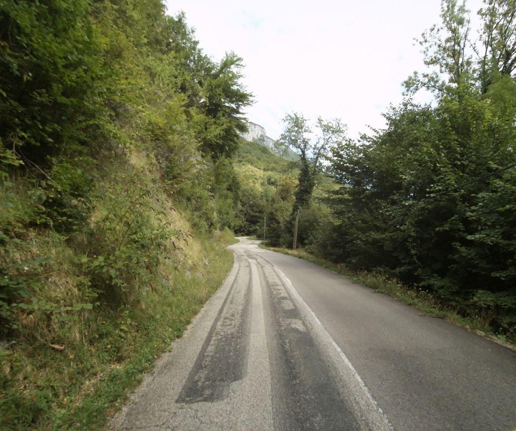 KM 5.9
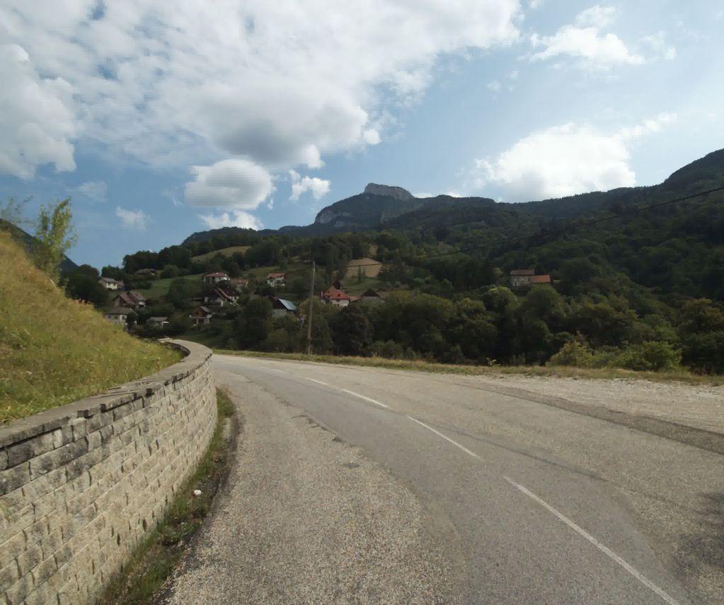 KM 6.4
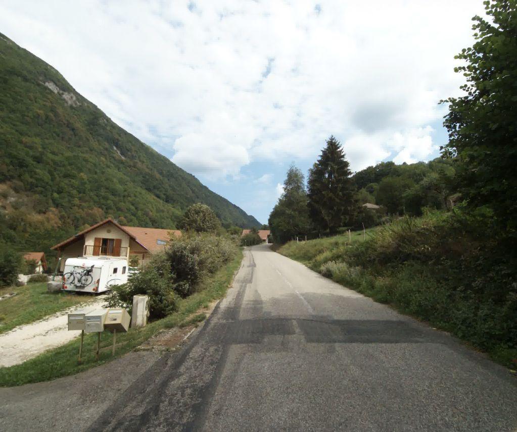 KM 7.4
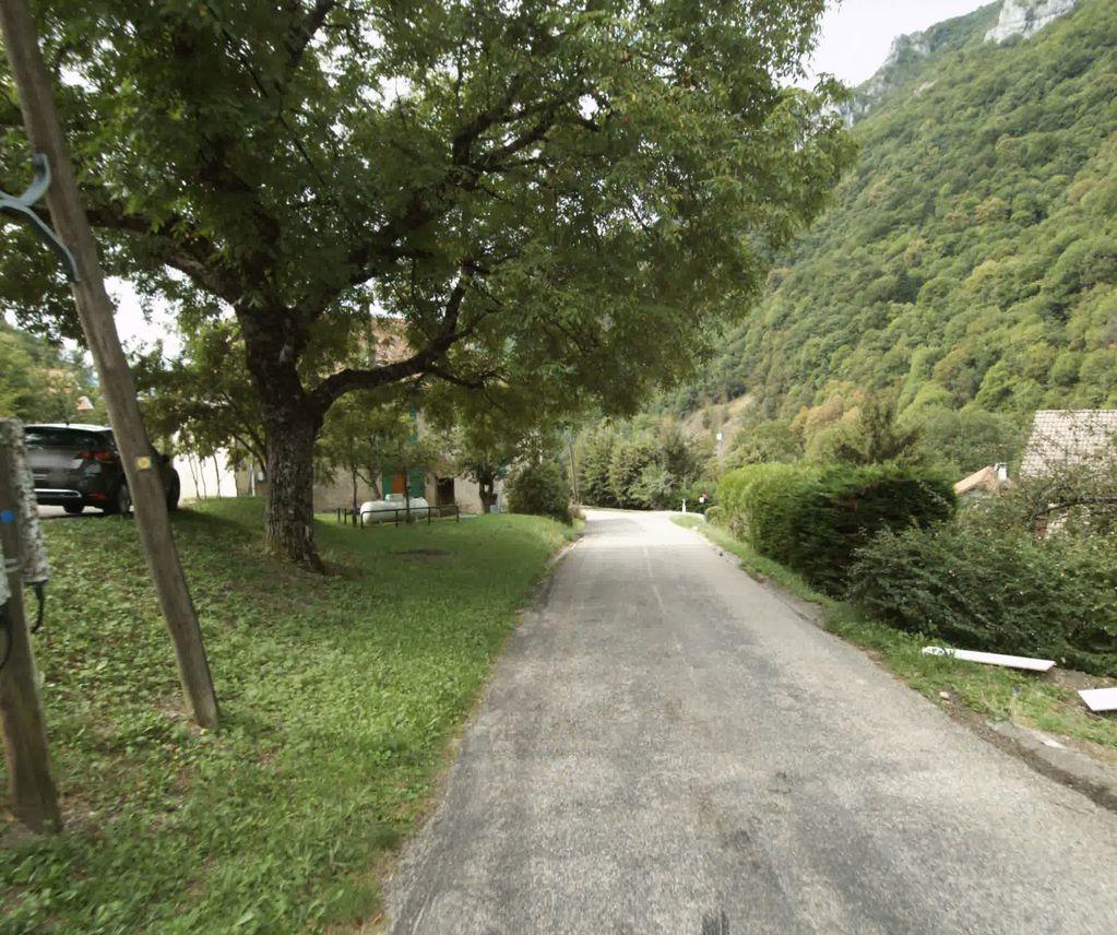 KM 7.9
 KM 8.4
COL DE LA CHARMETTE
Summit
1261m
Approaches
1
Hardest
CAT 1
Hardest side
13.3km