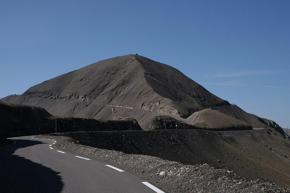
Cime de la Bonette
French Alps, France
Gradient:
<4%
4–7%
7–10%
10–12%
>12%
APPROACH ROUTES
Cime de la Bonette is a Hors Catégorie ascent in the French Alps, France, topping out at 2 860 m. The Saint-Étienne-de-Tinée approach is the hardest — 31.9 km at 5.5%, 1 769 m gained, maxing at 19.3%. The steepest kilometre averages 14.0%, around km 31.4. It can also be climbed from Jausiers (23.1 km at 6.9%): 2 measured approaches in all, each profiled kilometre-by-kilometre against Copernicus GLO-30 elevation data. On the Fiets scale it rates 11.7, among the region's hardest. Above the treeline the summit holds snow well into spring, so the dependable riding window runs roughly June to October.
RIDE THE CLIMB — FROM JAUSIERS
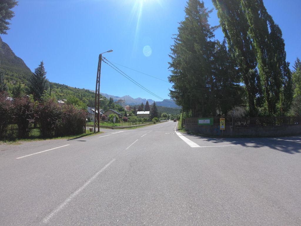 KM 0.3
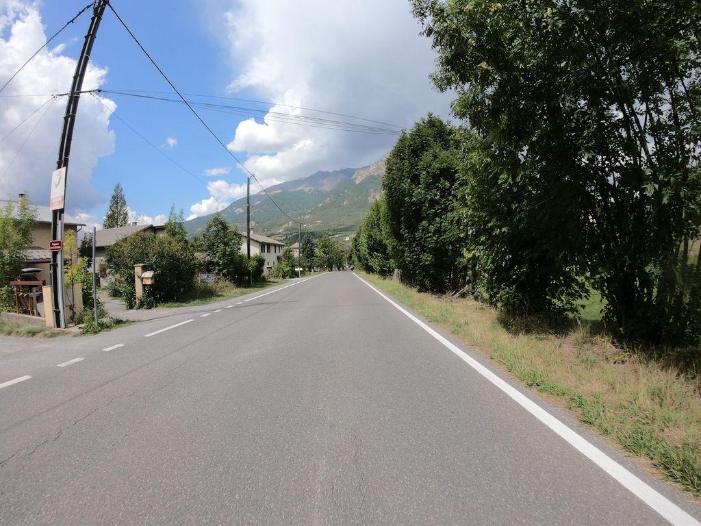 KM 0.8
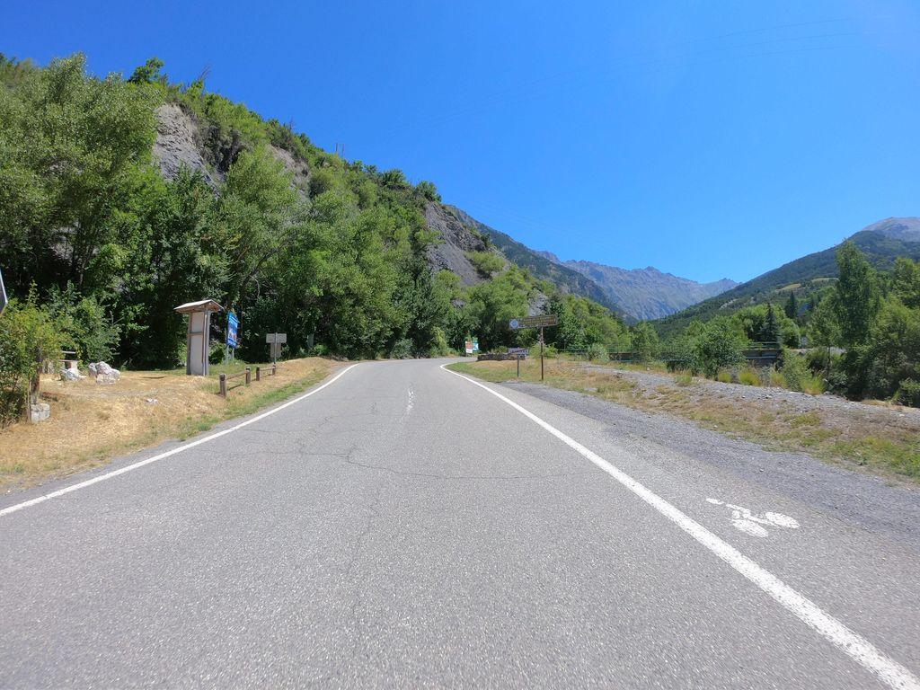 KM 1.3
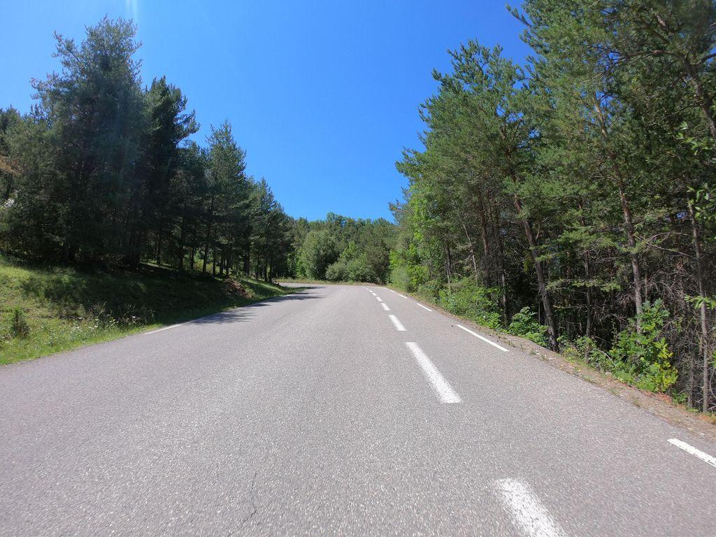 KM 2.3
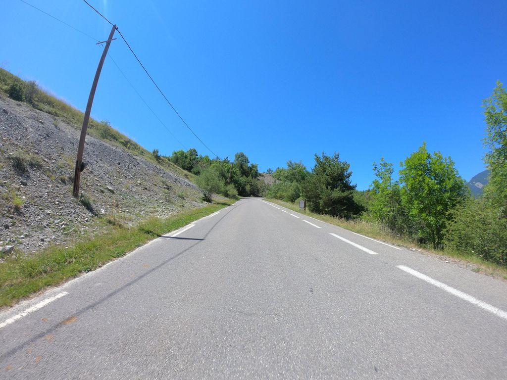 KM 2.8
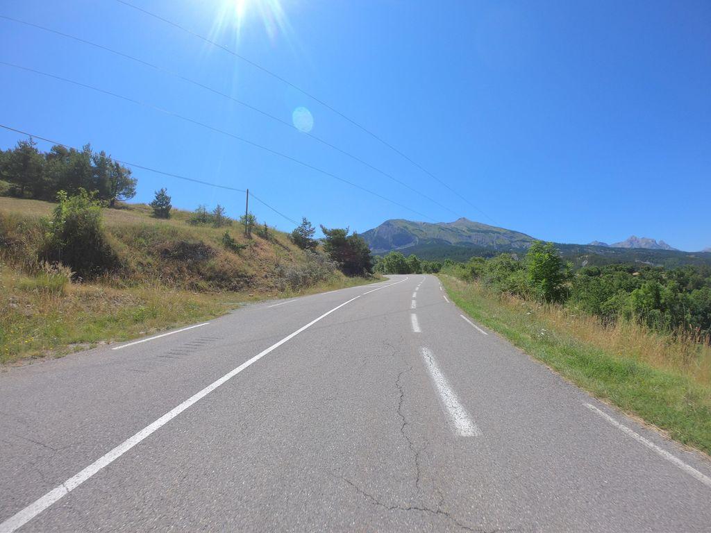 KM 3.4
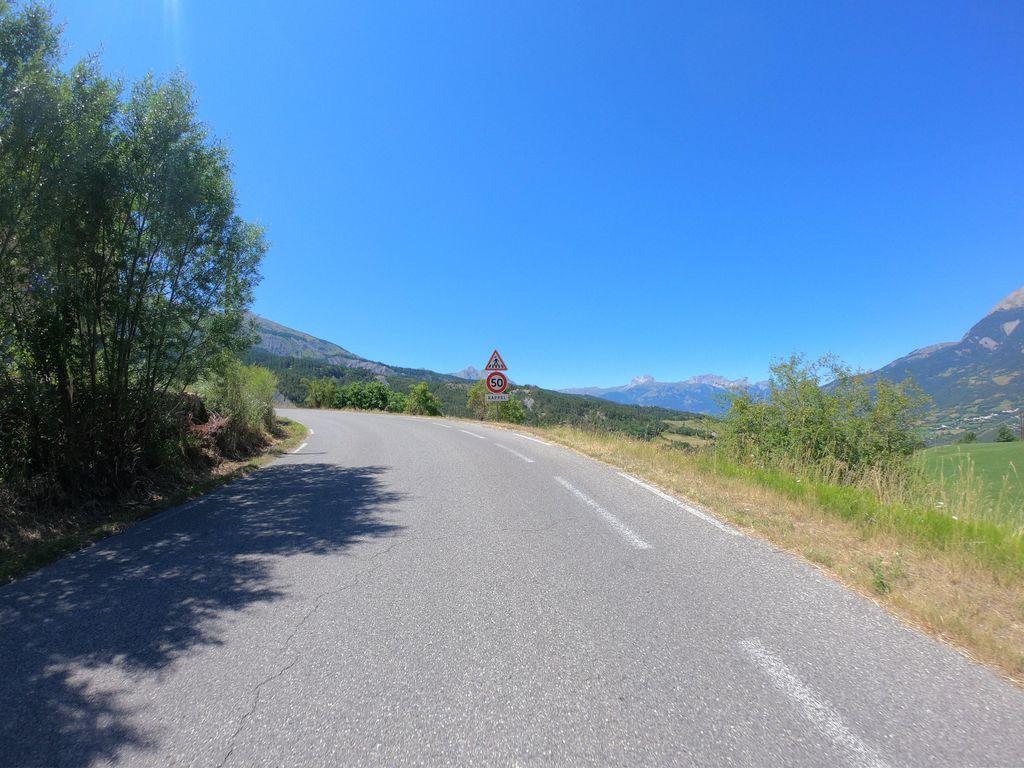 KM 3.9
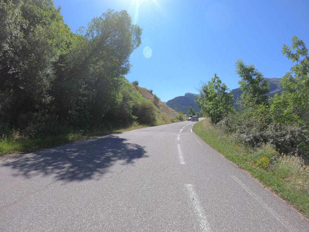 KM 4.4
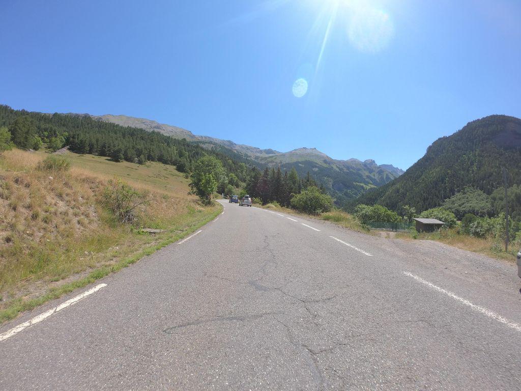 KM 5.9
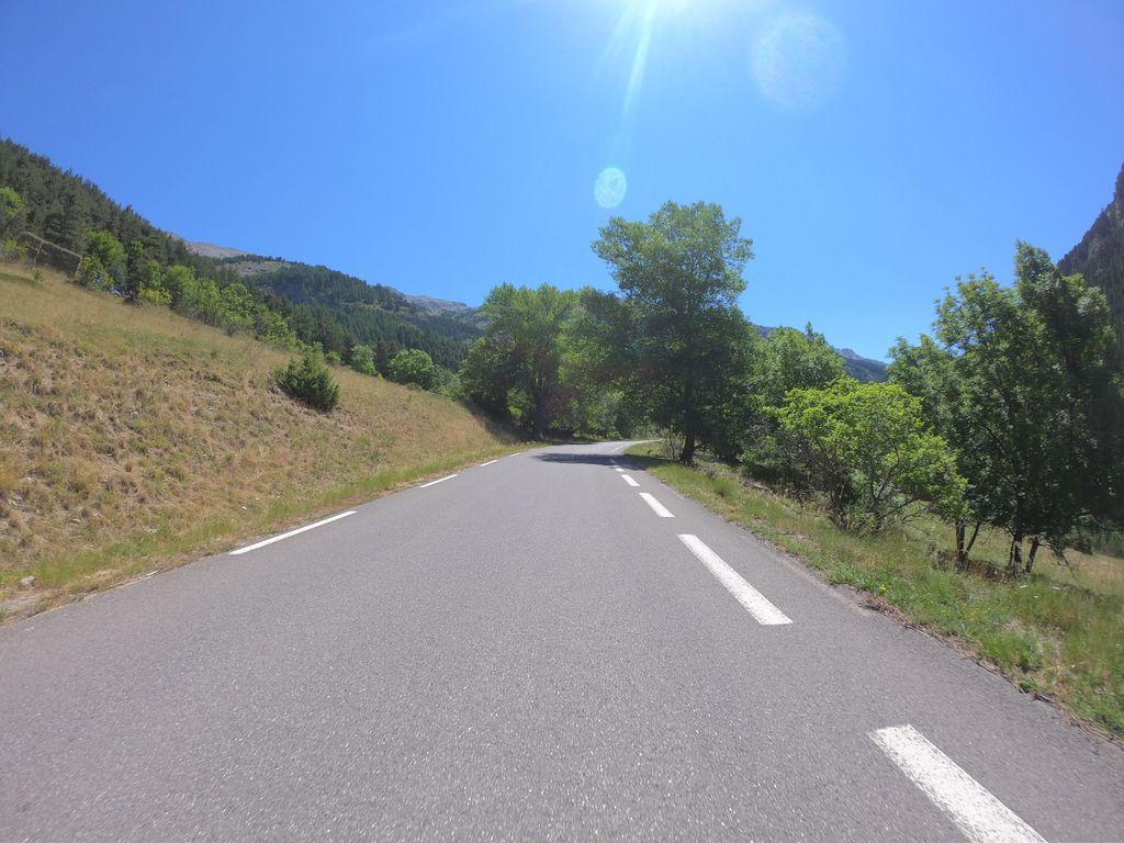 KM 6.4
 KM 7.0
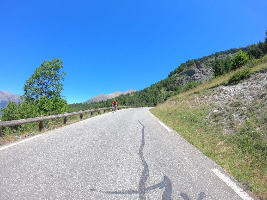 KM 8.0
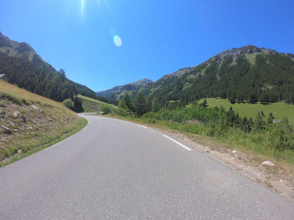 KM 8.5
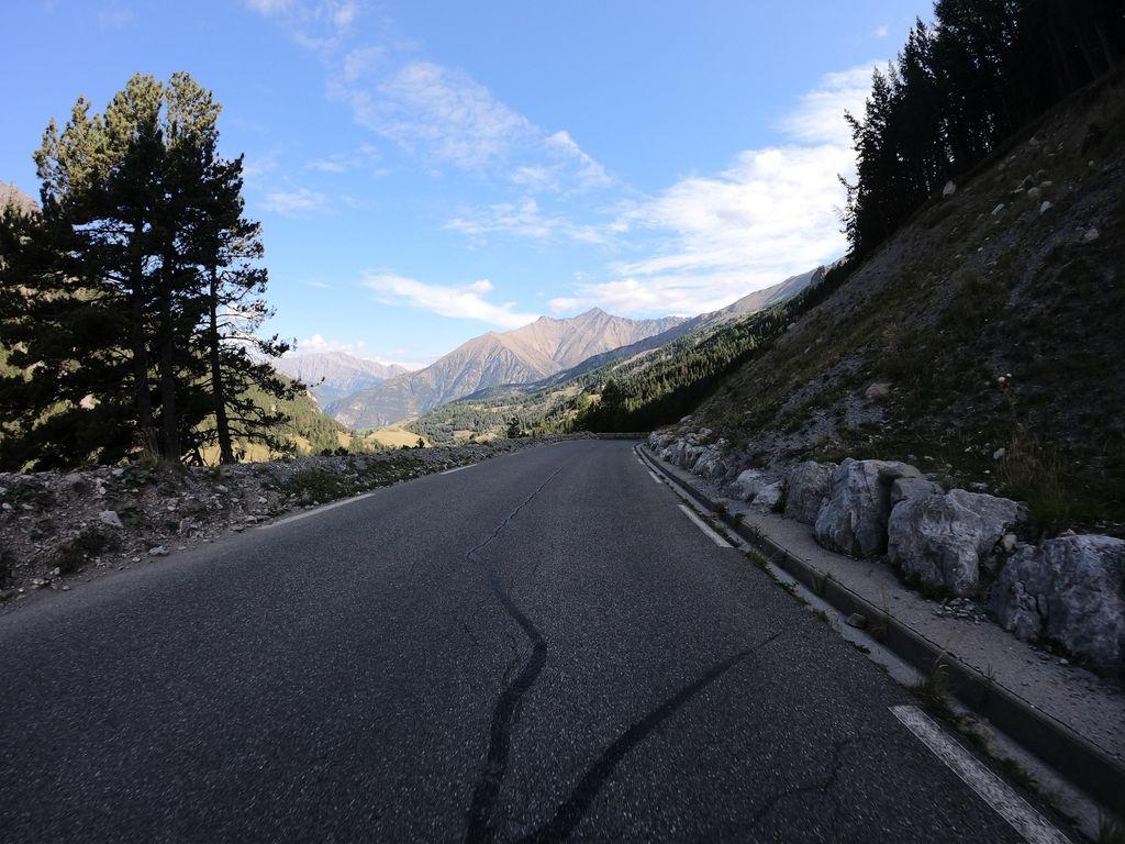 KM 9.5
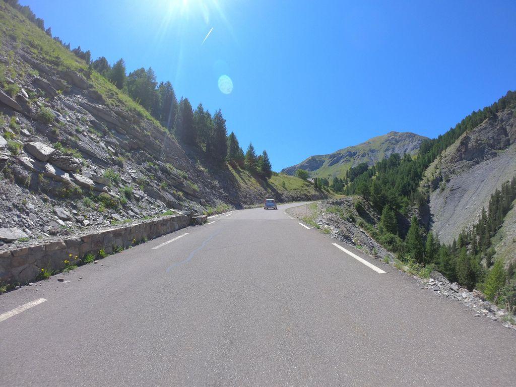 KM 10.1
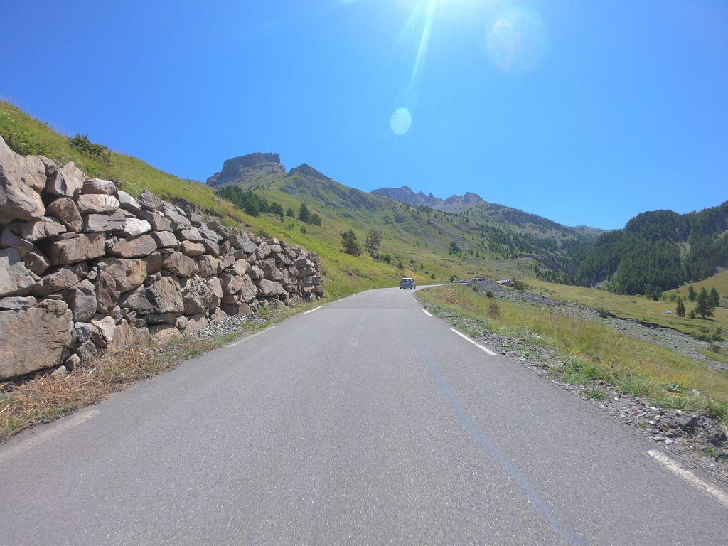 KM 10.6
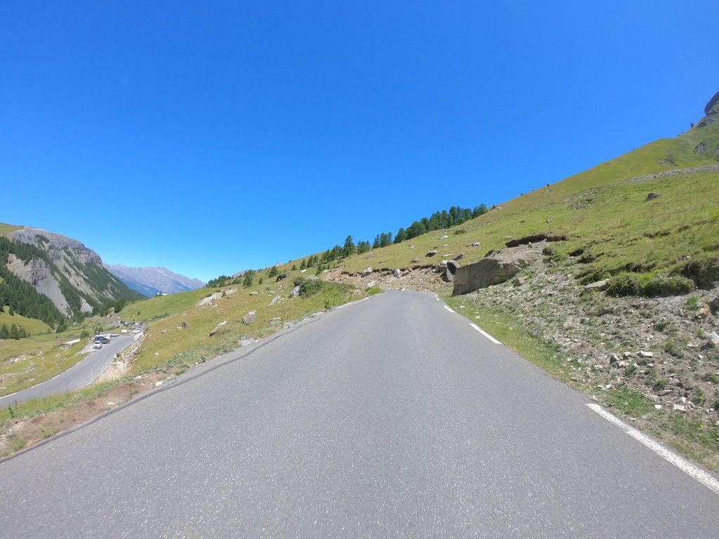 KM 11.1
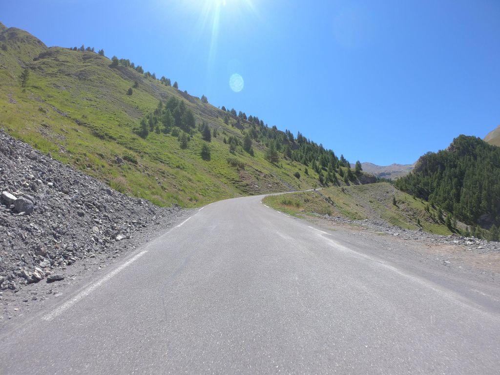 KM 11.6
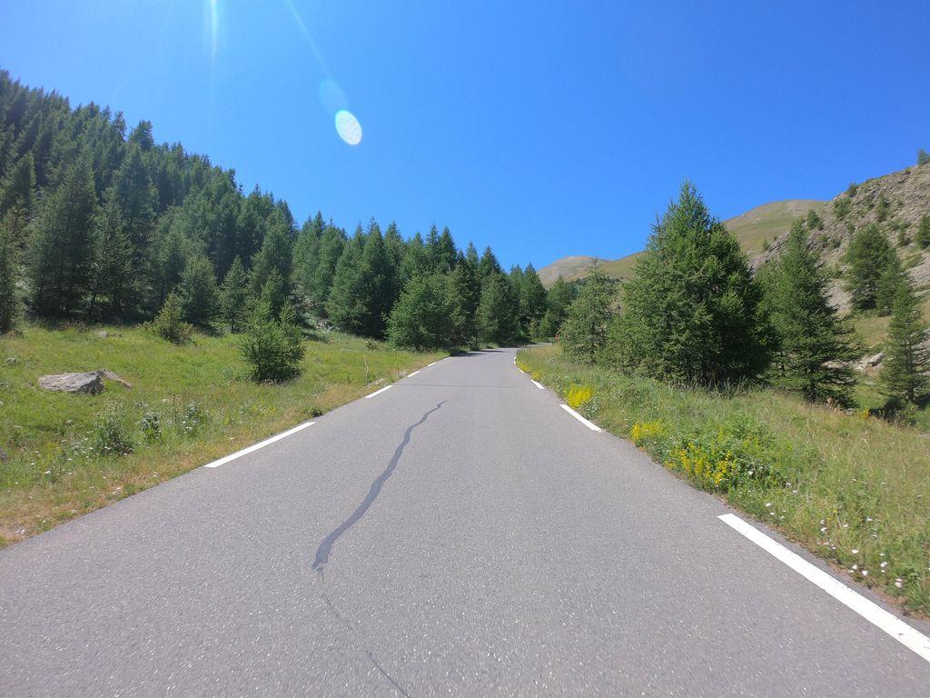 KM 12.1
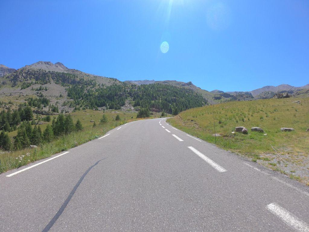 KM 12.6
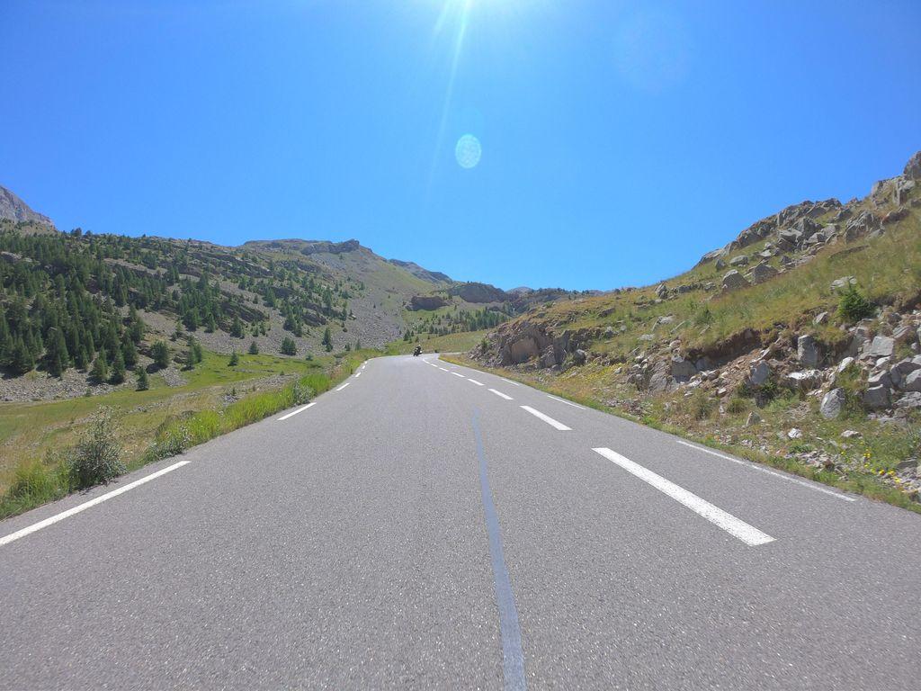 KM 13.1
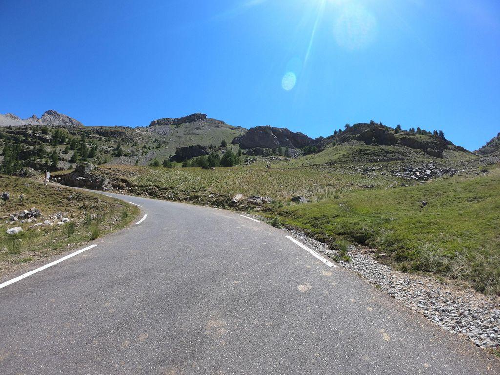 KM 13.7
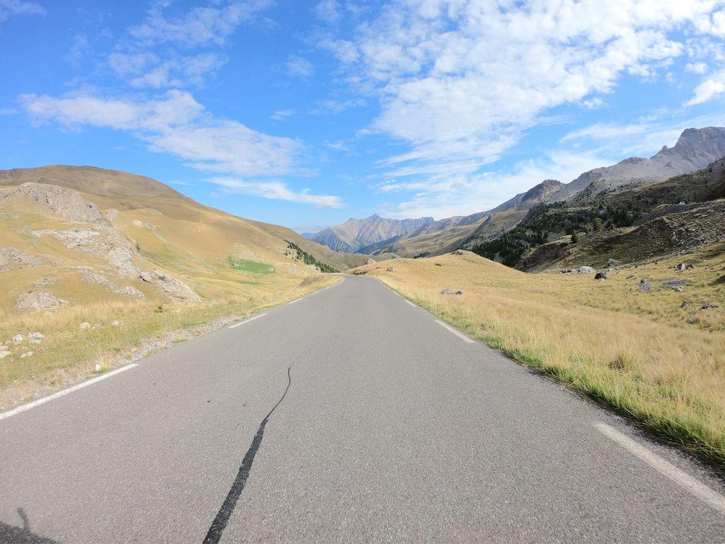 KM 14.2
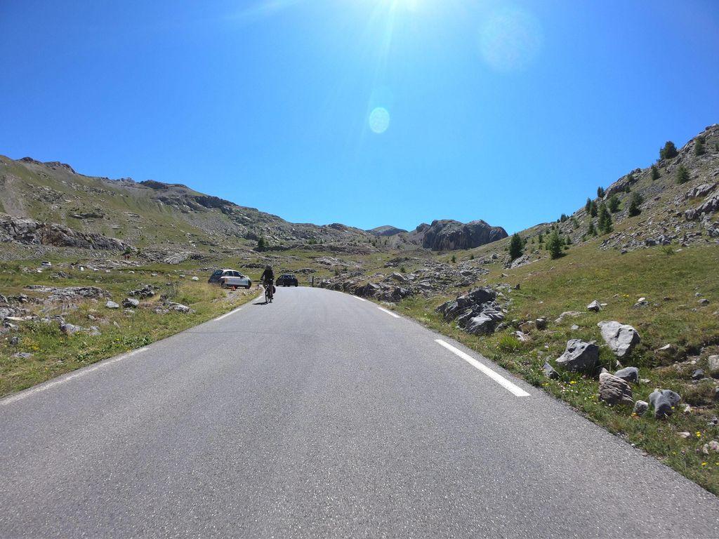 KM 14.7
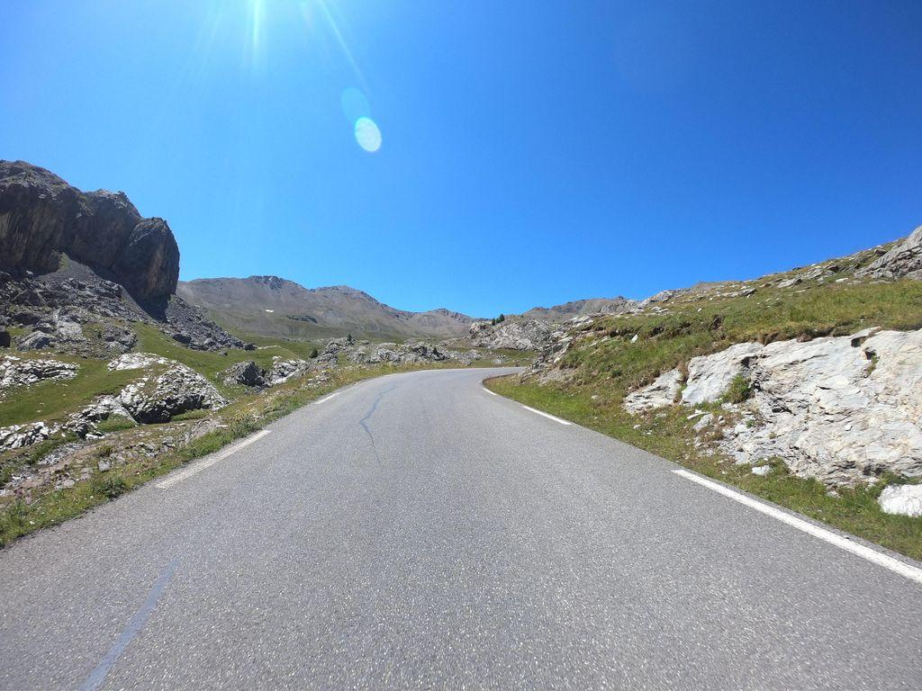 KM 15.2
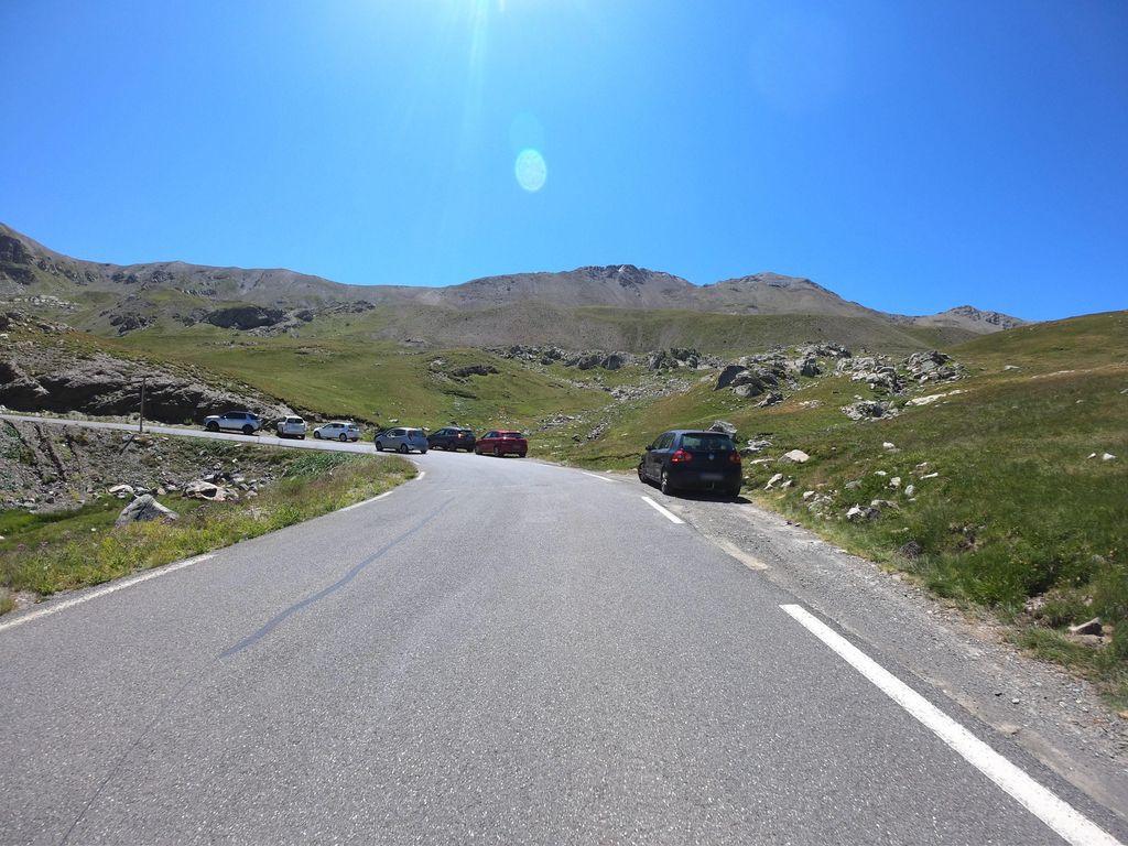 KM 16.2
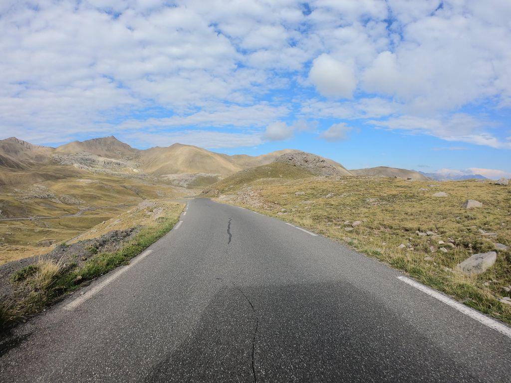 KM 17.3
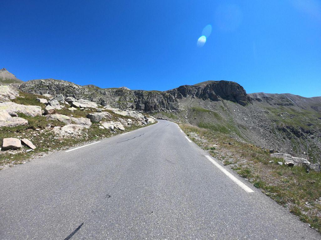 KM 17.8
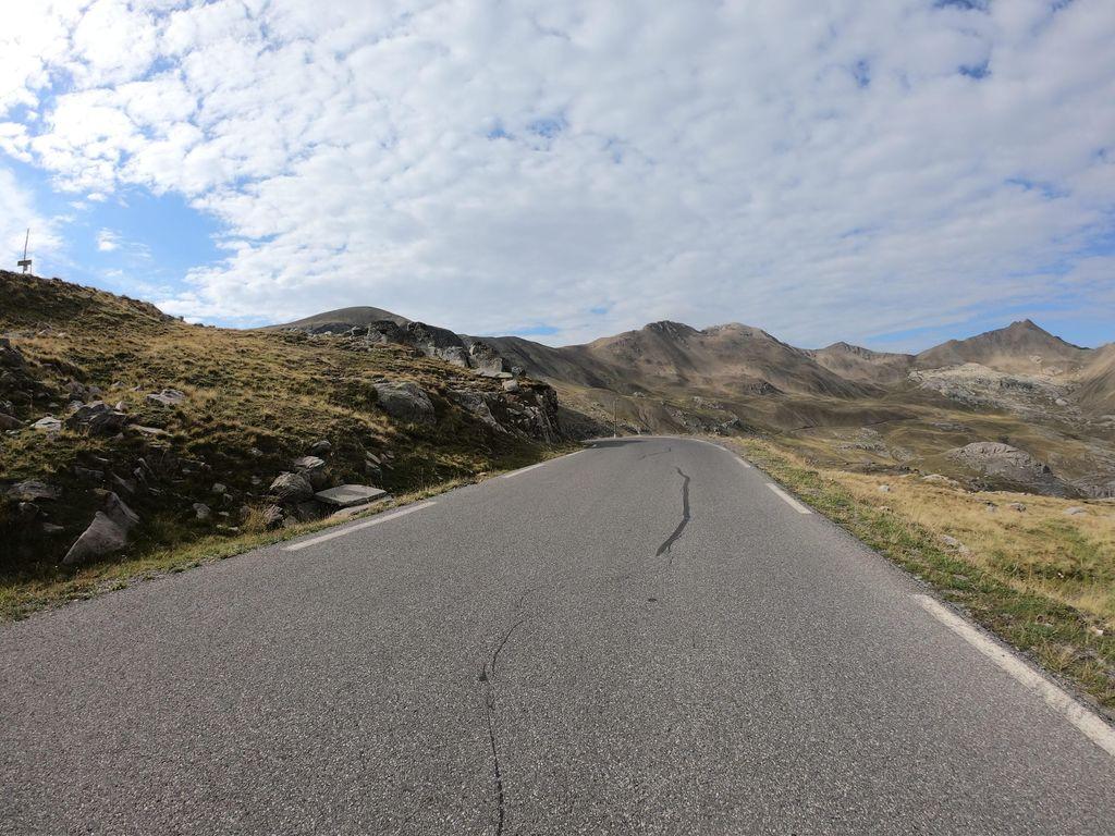 KM 18.3
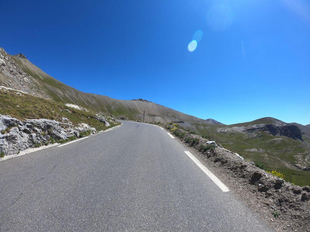 KM 18.8
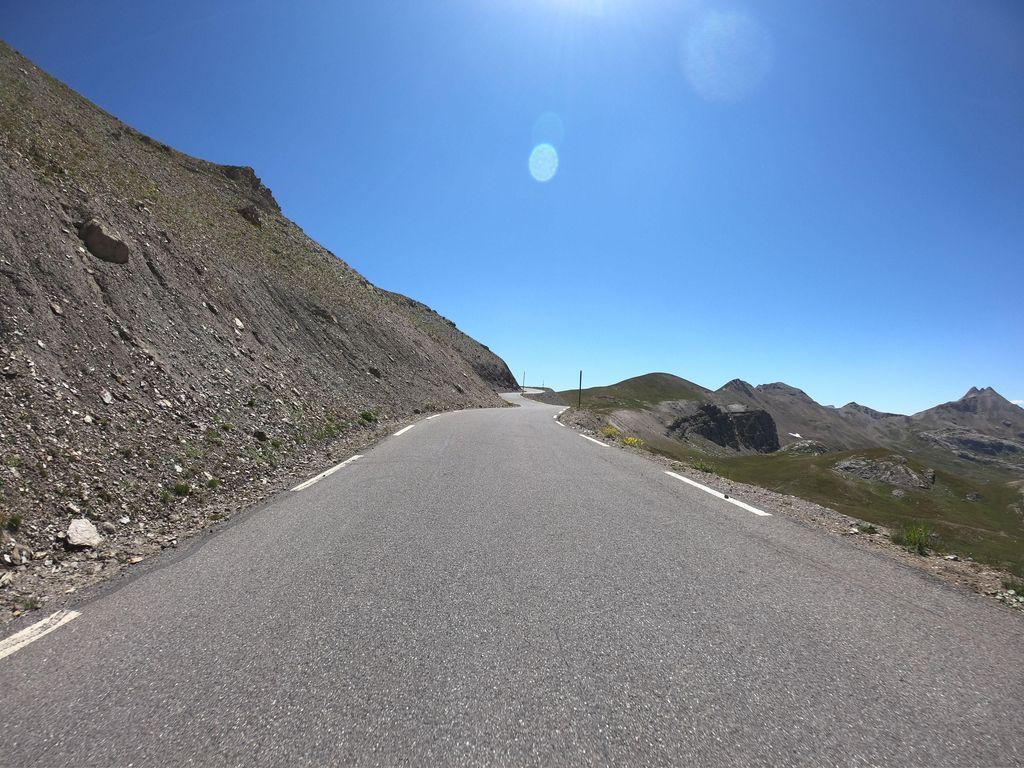 KM 19.9
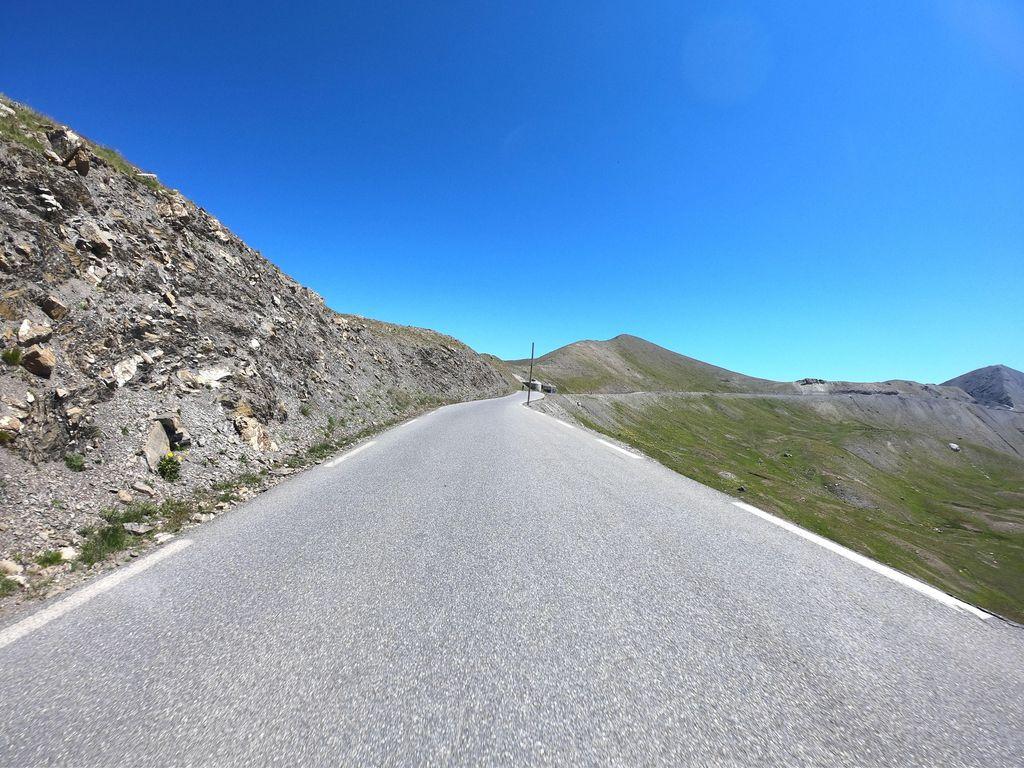 KM 20.9
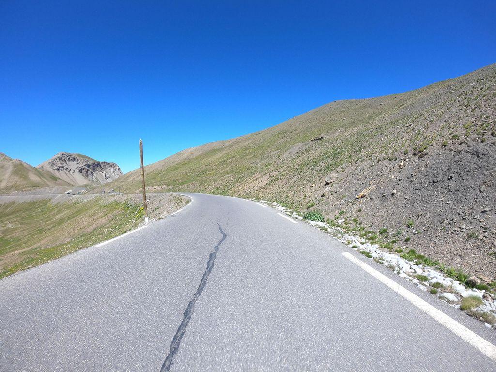 KM 21.4
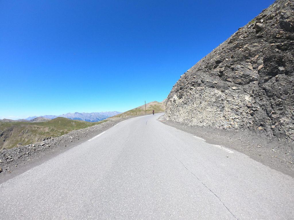 KM 21.9
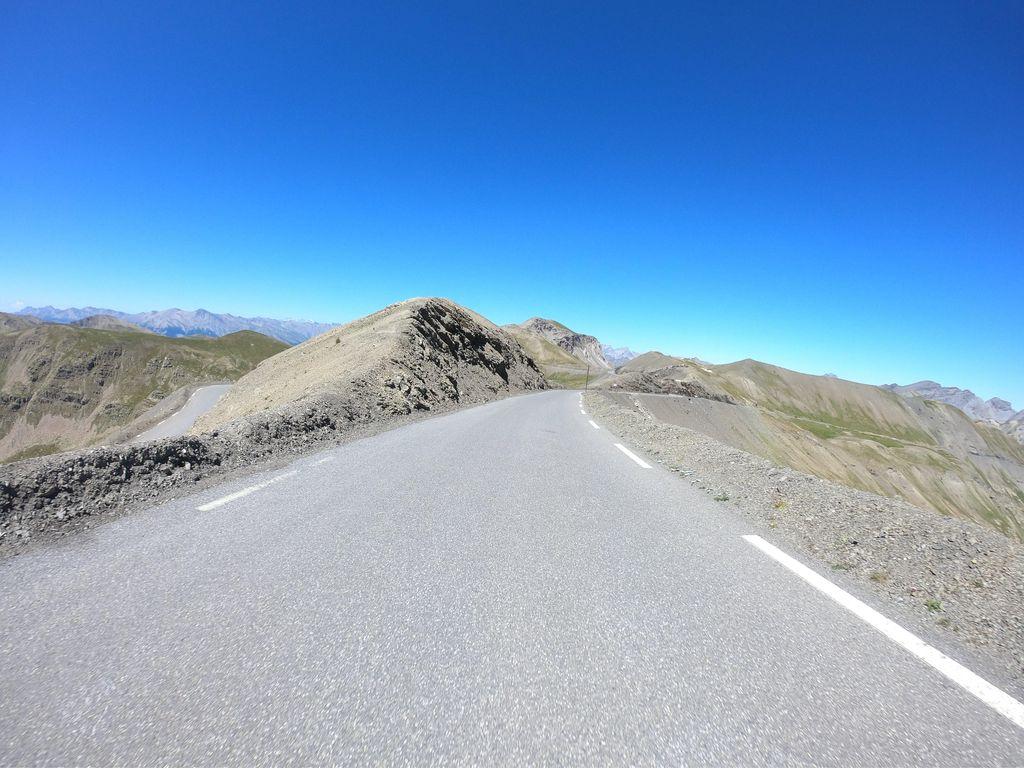 KM 22.4
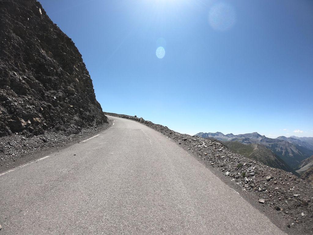 KM 22.9
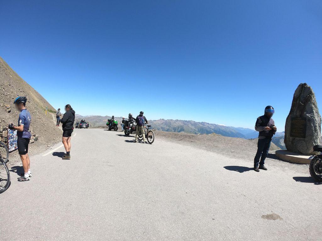 KM 23.2
FEATURED IN
CIME DE LA BONETTE
Summit
2860m
Approaches
2
Hardest
HC
Hardest side
23.1km
NEARBY CLIMBS